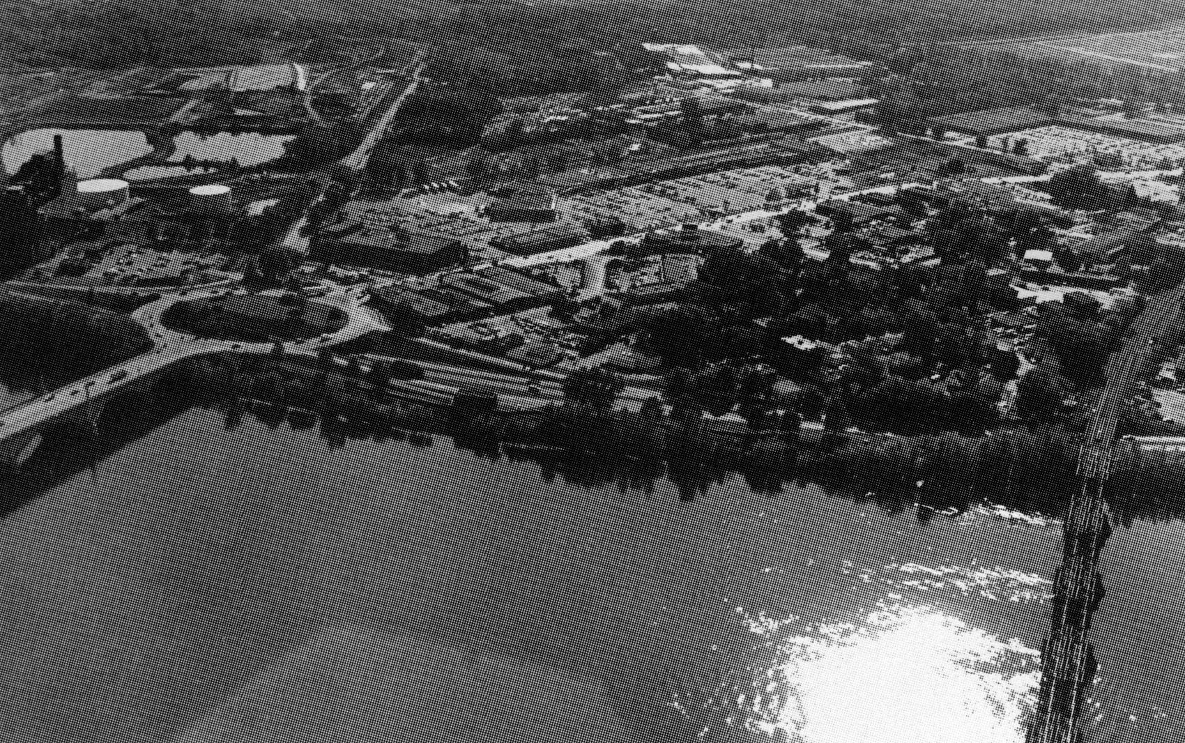
 The West Springfield Local Protection Project is located along two miles of the Connecticut River’s west bank and almost three miles of the Westfield River’s north bank in West Springfield. The project protects about 1,025 acres of highly developed industrial, commercial, public, and residential property.
The West Springfield area was heavily damaged in the March 1936 flood when existing dikes built by the town were overtopped, undermined, and eroded. The Corps’ project, which began in March 1939 and was completed in July 1942, enlarged and rehabilitated the original dikes. Along with modifications performed in 1947-48 and 1952-53, the total cost of the project was $1.6 million. West Springfield operates and maintains the completed works.
The project starts at high ground in the vicinity of Harrison Place on the Connecticut River and extends downstream for 8,500 feet. It then turns up the left bank of the Westfield River for 16,000 feet and ends on high ground at the Conrail Railroad. The project involved raising 13,700 feet of the existing dikes, strengthening 2,400 feet of riverbank with stone slope protection, and constructing 2,300 feet of concrete floodwall, three stoplog structures, and pumping stations at Warren Street, Bridge Street, and Circuit Avenue.
Since its completion in July 1942, the Corps has twice modified the project. In 1947-48, 6,100 feet of the old dike foundation was treated. Between August 1952 and July 1953, a relief well and drainage system was constructed.
A third modification by the Corps has been completed. This involved raising the concrete floodwalls by one foot and installing a flood forecasting and warning system. Work on the concrete floodwalls was completed during April - September 1984. The flood forecasting and warning system was completed in September 1990.