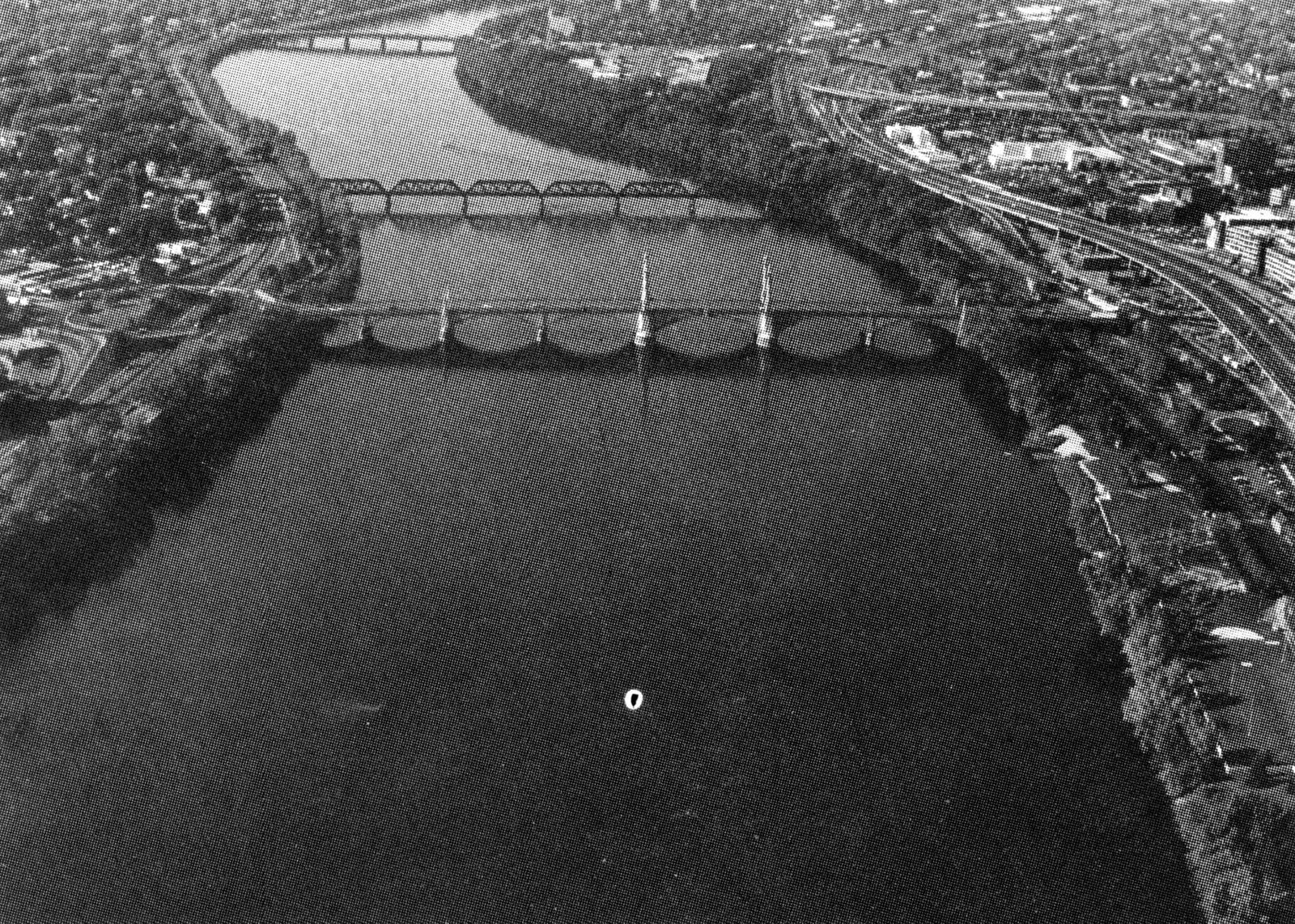
 The Springfield Local Protection Project is located along approximately five miles of the Connecticut River’s east bank in Springfield.
The project protects two low areas totaling 820 acres located in the northern and southern sections of the city. These areas house railroad, industrial and commercial property, as well as numerous small commercial buildings and residences.
The project was constructed in various segments, beginning in December 1938 and ending in December 1948. The total cost of the project was $937,000. It is operated and maintained by the city of Springfield.
Divided into northern and southern sections, the project totals 18,000 feet in length. The northern section starts about 3,000 feet north of the Chicopee - Springfield city line and extends downstream on the Connecticut River to high ground near the Conrail bridge. The southern section begins at high ground south of Memorial Bridge and extends intermittently across low areas on the Connecticut River to high ground about 1,000 feet upstream of the South End Bridge.
Principal elements of the project include 3,700 feet of earthfill dike, 8,700 feet of earthfill dike capped with concrete floodwall, 5,600 feet of concrete floodwall, and 1,700 feet of concrete conduit that discharges the Mill River into the Connecticut River. Construction also included five stoplog structures, a pumping station, and miscellaneous drainage structures that supplement the city-built drainage system.