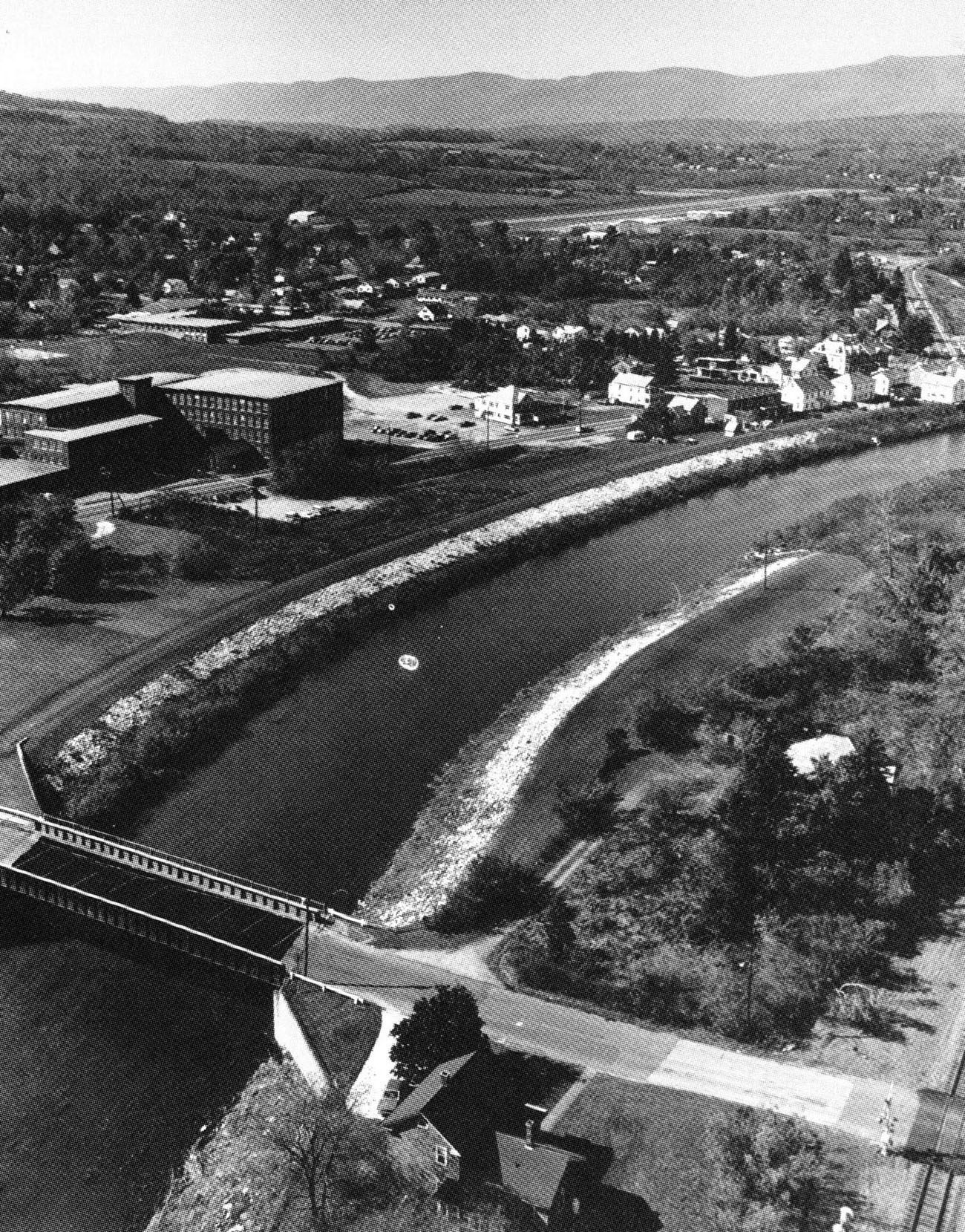
 The North Adams Local Protection Project is located in North Adams along the main stem of the Hoosic River, the North Branch of the Hoosic River, and the South Branch of the Hoosic River. The city is about 50 miles northwest of Springfield. The project affords flood protection to about 85 percent of the city’s industrial and commercial firms and about 25 percent of the residential property. The project is operated and maintained by North Adams.
Construction of the project, built by the Corps’ New York District, began in July 1950 and was completed in May 1961 at a cost of $18.8 million. Town roads, utilities, and Guilford Transportation Company railroad tracks were relocated to accommodate the project. Work along the Hoosic River’s main stem stretches about 13,400 feet from the junction of the North and South Branches, through Braytonville, to a point downstream of the Barber Leather Company, in the vicinity of the North Adams Sewage Treatment Plant. It consists of 4,000 feet of earthfill dikes; 3,840 feet of concrete floodwalls; 400 feet of paved concrete channel; 12,540 feet of strengthened riverbank with stone slope protection; three concrete weirs; two drop structures; excavation of the entire (13,400 feet) channel; the removal of the old Braytonville and Brown Street bridges and the construction of new bridges; the reconstruction of the Greylock Bridge and the partial construction of the Phelps Avenue Footbridge; and the removal of the Massachusetts Avenue and the Phelps Avenue bridges.
The project along the Hoosic River’s North Branch extends from the Lower Beaver Street Bridge to the junction of the North and South branches, a distance of about 9,270 feet. This work includes 1,922 feet of concrete floodwall; 1,013 feet of paved concrete channel; 5,340 feet of strengthened riverbank with stone slope protection; a 100-foot-long concrete weir; excavation of 8,200 feet of the North Branch; the removal of a federal dam and the Windsor Print Works Dam; the reconstruction of the Eclipse Dam and the replacement of the Hoosac Cotton Mill Dam; and the construction of abutments for the Upper Union Street, Lower Union Street, Eagle Street, and Marshall Street bridges.
Work on the Hoosic River’s South Branch covers an 8,100 foot-long area. It involved constructing 714 feet of concrete floodwall, 5,510 feet of earthfill dike, 3,225 feet of strengthened riverbank with stone slope protection, and 1,737 feet of paved access road; excavating 8,100 feet of the South Branch channel; reconstructing the Main Street Bridge and a portion of the Curran Memorial Highway; altering the Sprague Electric Company Bridge; altering and relocating the Sprague Electric Company Upstream Bridge; raising the Boston and Maine railroad bridge; constructing an access road and bridge; and removing the Johnson and Phoenix dams.