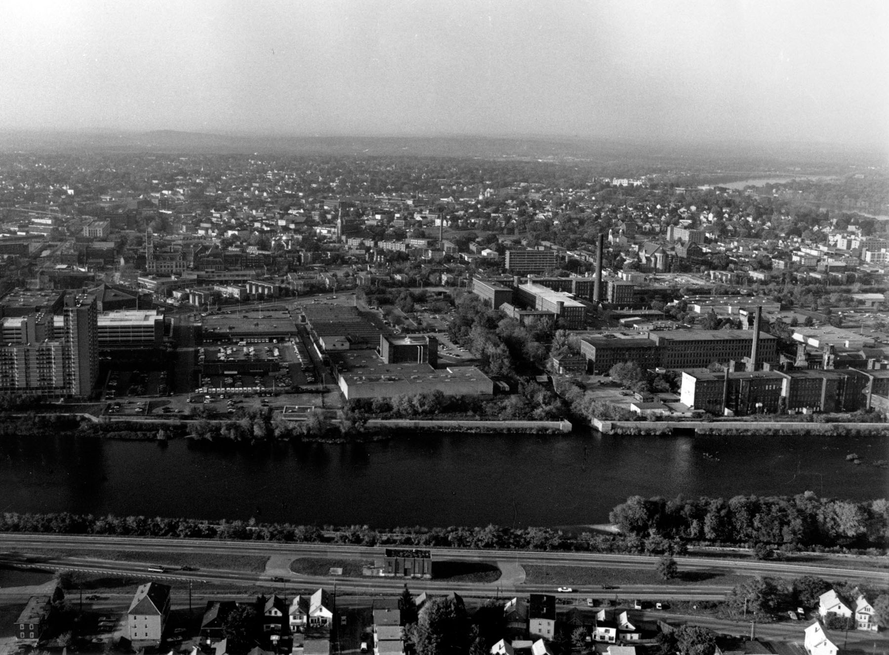
The Lowell Local Protection Project is located on the north bank of the Merrimack River in Lowell. The project protects 120 acres of urban land in two principal sections of the city -- Lakeview and Rosemont.
Work on the Merrimack River in Lowell actually began in the mid-1930s, when Works Progress Administration funds were used to straighten and lower the channel by removing sandbars and other obstructions. The spoil was used to form two dikes at Beaver Brook and Rosemont Terrace. These dikes offer limited protection and are not considered part of the present project. Construction of the present project started in October 1941 and was completed in June 1944 at a cost of $581,000. It is operated and maintained by Lowell.
One section of the project protects the Lakeview area, the other section protects the Rosemont area.
Work in the Lakeview section starts at the Bridge Street Bridge and extends upstream along the right bank of the Merrimack River to the Aiken Bridge. This part of the project consists of 2,700 feet of earthfill dike, 880 feet of concrete floodwall, and the West Street pumping station, which carries the flow of sanitary and storm waters through the dike during high river stages.
Work in the Rosemont section begins near the mouth of Beaver Brook and extends along the brook’s right bank to a point near Bachman Street and the Lowell - Dracut town line. About 720 feet of earthfill dike and 874 feet of concrete floodwall were constructed in Rosemont. A pumping station at Beaver Street, originally built as part of the project, was removed in 1982 when the city modified its sewer system.