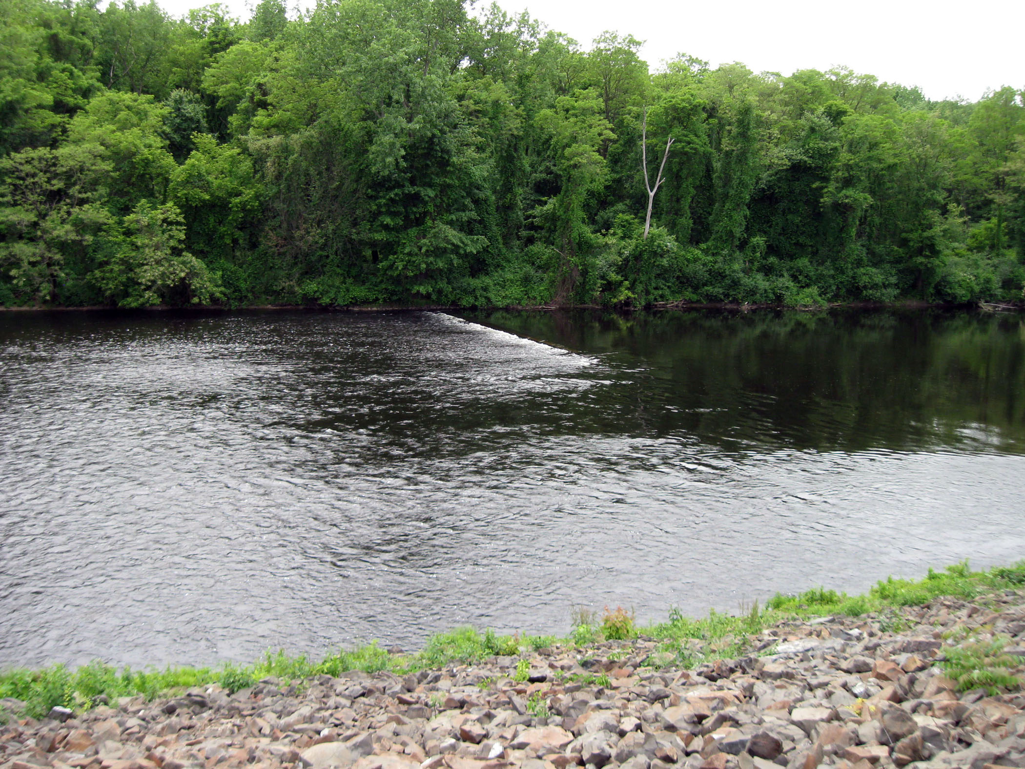
 The Chicopee Local Protection Project extends along the east bank of the Connecticut River and along both banks of the Chicopee River. The project protects large, highly developed areas of the city that suffered severe flood damage during March 1936.
Construction of the project began in March 1939 and ended in July 1941, costing $1.7 million. It is operated and maintained by Chicopee.
The completed works consist of 22,200 feet of earthfill dike; 6,100 feet of concrete floodwalls; six pumping stations; and three stoplog structures.
The Chicopee Local Protection Project has upper and lower sections. The upper section consists mostly of earthfill dike that starts at Leslie Street and extends along the east bank of the Connecticut River, up the north bank of the Chicopee River, and ends at Bertha Avenue. There are pumping stations at Call Street, Jones Ferry, Paderewski Avenue, and Bertha Avenue, and a stoplog structure at the Guilford Transportation Company rails.
In the lower section, the project starts about 1,200 feet from the Davitt Memorial Bridge and extends along the Chicopee River to Depot Street and the railroad. These works include earthfill dike and concrete floodwall, a pumping station, and two stoplog structures.