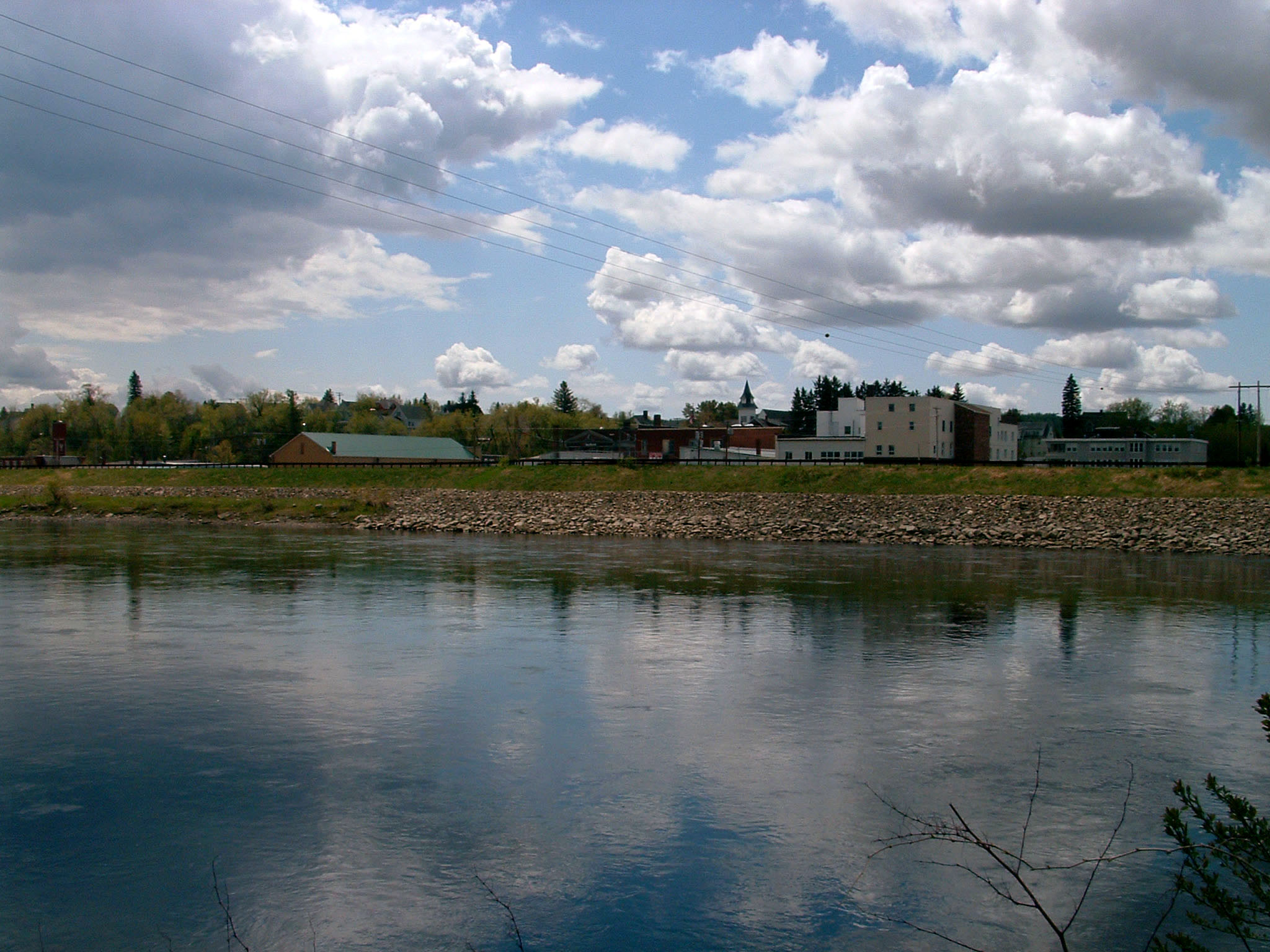
 The Fort Kent Local Protection Project is located in Fort Kent, on the Saint John River at its confluence with the Fish River. At this location, the Saint John River forms the international boundary with Canada. The project provides flood protection to 48 acres of residential and commercial property in the business center of Fort Kent. This acreage is prone to flooding from the Saint John River during spring snowmelt.
Construction began in June 1976 and was completed in October 1977 at a cost of almost $2 million. It was constructed under Section 205 of the Continuing Authorities Program, and is operated and maintained by Fort Kent.
The project’s main feature is an earthfill dike with stone slope protection 3,245 feet long and ranging from 5 to 12 feet high. The dike begins at a point about 370 feet upstream of the International Bridge and extends to an area near the Fort Kent Blockhouse. The project includes a concrete floodwall, pumping station, and 650 feet of pressure conduit that discharges interior drainage during high water periods. Construction also involved raising 550 feet of roadway embankment along the Fish River.