 The New London Hurricane Protection Barrier is located along the New London waterfront at Shaw Cove on the Thames River. It is about 45 miles southeast of Hartford.
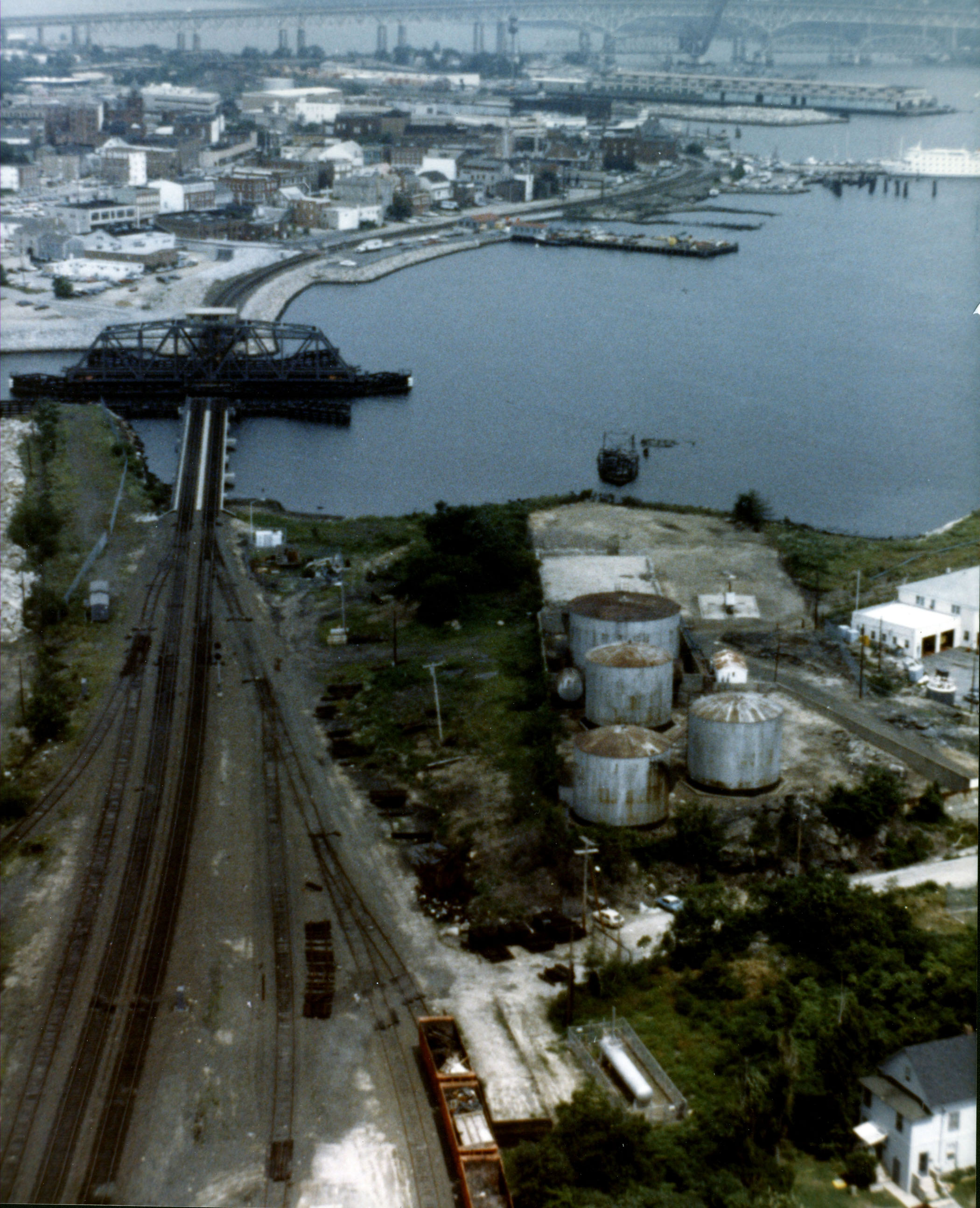
New London suffered damaging floods from hurricanes in 1938, 1944, 1954, and 1960. Damages from 1954’s Hurricane Carol amounted to $3.8 million, of which $2.4 million could have been prevented if a hurricane protection barrier had existed. The barrier today protects about 173 acres of industrial and commercial areas in the vicinity of Shaw Cove from hurricane and severe coastal storm flooding, and safeguards against interior flooding caused by overflows from Truman Brook.
Construction started in August 1978 and was completed in May 1986, costing $12 million. The relocation of electric, water, sewer, telephone, and drainage lines was required. The barrier is operated and maintained by the city.
The project consists of an earthfill dike with stone slope protection approximately 715 feet long with a maximum elevation of 14.5 feet; a concrete floodwall about 800 feet long with a maximum elevation of 14.5 feet; two revetments that have a total length of 925 feet; a gated 1,800-foot-long concrete conduit eight feet in diameter that intercepts flows from Truman Brook and discharges into Shaw Cove; and a pumping station that discharges flows through the dike during unusually high tides. The project also included the construction of a raised railroad embankment, the dredging of Shaw Cove, and the demolition of waterfront structures.