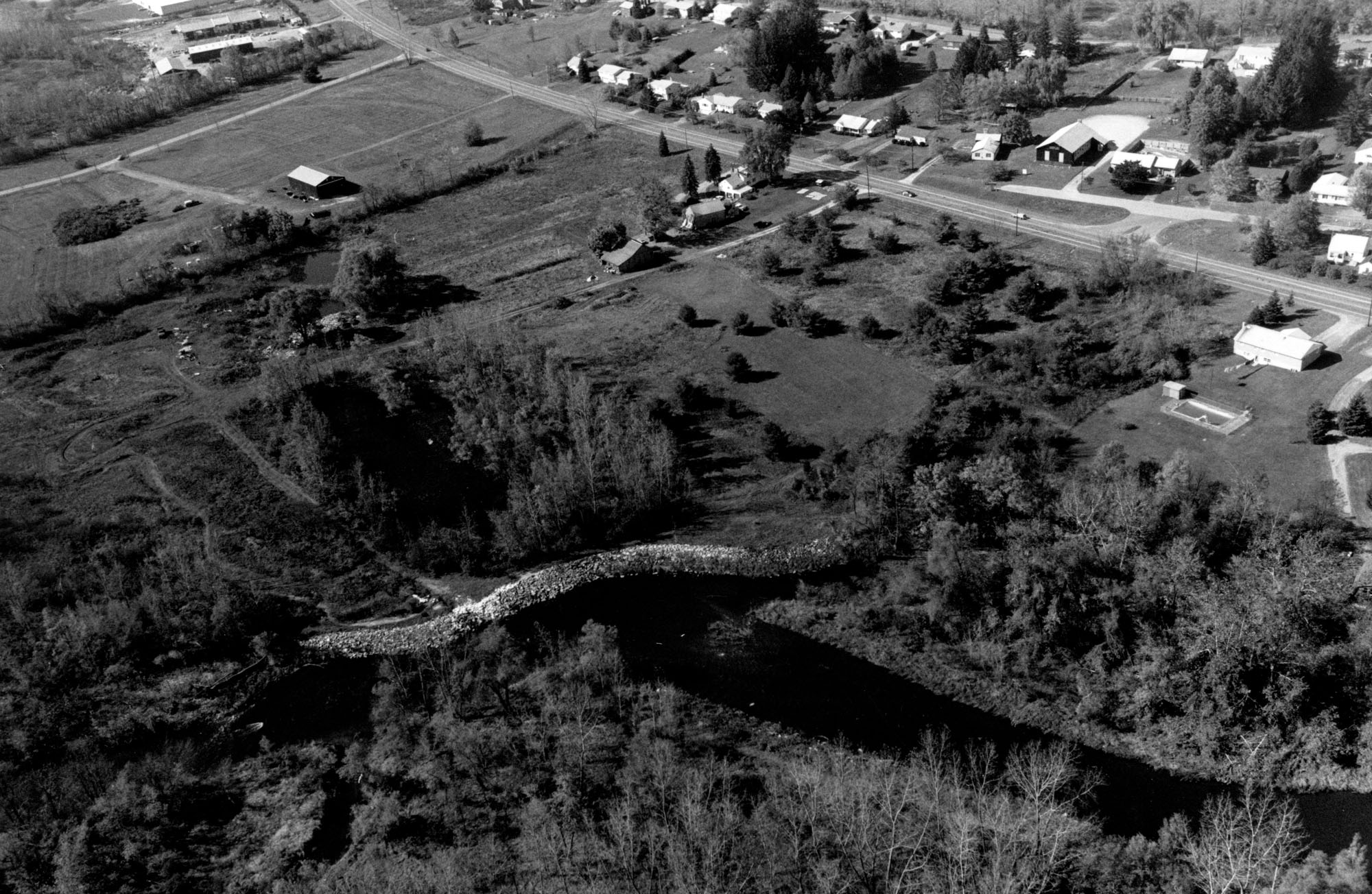
The project in Lee lies on the Housatonic River, immediately west of Tyringham Road and about 1,000 feet downstream of the Massachusetts Turnpike. It is about 10 miles south of Pittsfield and eight miles east of the Massachusetts - New York border.
The strong flows of the Housatonic River had seriously eroded a section of riverbank where the river bends sharply. This erosion threatened to wash out a nearby sewer main and undermine a siphon structure leading to the Lee Sewage Treatment Plant. Had this occurred, the Housatonic River would have been polluted with untreated municipal waste. In response to the problem, the Corps placed 365 feet of stone slope protection along the eroded riverbank, preventing further erosion and protecting the integrity of the structures.
The Lee project was constructed between November 1974 and June 1975 at a cost of $38,000. It is a small project, built under Section 14 of the Corps’ Continuing Authorities Program.