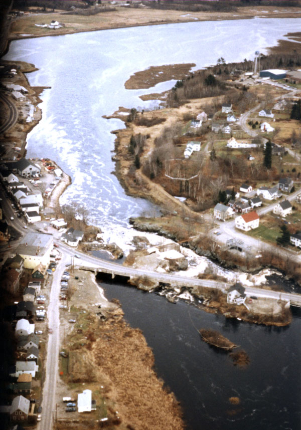
 The project on the Machias River in Machias is located on the north bank of the river, adjacent to a municipal parking lot near the base of Machias Falls and downstream of the Route 1 Bridge. The site is about 83 miles east of Bangor and 46 miles southwest of Eastport.
The north bank of the river at this location was exposed to strong flows from Machias Falls, particularly during flood periods. This factor, combined with the impact of ice blocks driven against the embankment by the high river currents during the late winter and spring, caused significant erosion and threatened the integrity of the parking lot, which is the major source of parking for the downtown business district. In 1973, the Federal Disaster Assistance Administration placed stone slope protection along a 500-foot section of the north bank, adjacent to the parking lot. However, storms in February and April of 1976 destroyed part of this work and the town could not obtain funds to repair it. Although the remainder of the project adequately protected the riverbank, the section of bank left unprotected suffered serious erosion and threatened the stability of the parking lot.
To strengthen the eroded bank and protect the parking lot, the Corps placed 250 feet of stone slope protection along the exposed riverbank. Guard rails were placed along the edge of the stone protection to eliminate encroachment from the parking area.
Construction of the Machias River bank protection project began in October 1986 and was completed in June 1987 at a cost of $167,000. It is a small project and was built under Section 14 of the Corps’ Continuing Authorities Program.