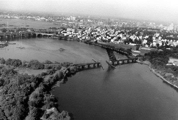
From the natural falls at Pawtucket, the Seekonk River flows about five miles southerly between the cities of Providence and East Providence before emptying into Providence Harbor at India Point.
Original work on the river around the turn of the century provided for a 12-foot-deep channel extending from the mouth of the river to the wharves at Pawtucket. The present project, completed in 1927, consists of a 3.4-mile-long channel, 16 feet deep, extending northerly from near the Henderson Bridge connecting Providence and East Providence, about 0.8 mile upstream of India Point, to the Division Street Bridge in Pawtucket. The channel is 150 feet wide from the Red Bridge to an area opposite Goose Point (a distance of about one mile), where it widens further to 230 feet for a distance of about 0.5 mile. The channel then narrows to 150 feet for a distance of about 1.7 miles to a point upstream of the state pier, where it narrows to 100 feet through the ledge at Pawtucket and narrows further to 60 feet as it approaches the Division Street Bridge.