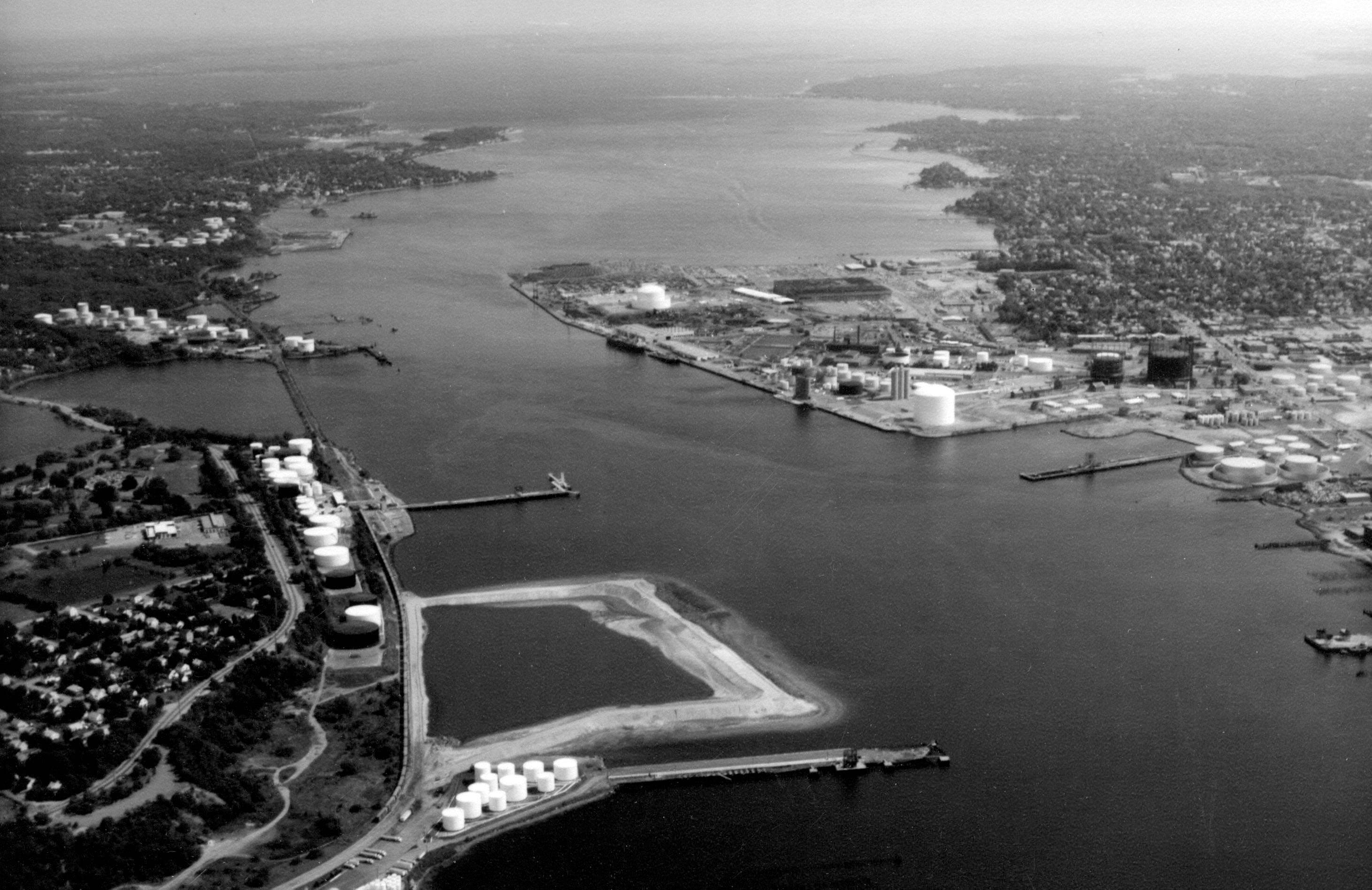
The Providence River is formed by the junction of two small streams, the Woonasquatucket and Moshassuck rivers, which rise in northern Rhode Island. The river flows southerly for one mile to the head of Providence Harbor at Fox Point in Providence, where it is joined by the Seekonk River. The Corps project, a 16.8-mile-long channel, begins near the head of Providence Harbor and follows the river on a southerly course through the communities of East Providence, Cranston, Barrington, Warwick, Bristol, and Portsmouth. Providence River and Harbor together constitute the principal commercial waterway in Rhode Island.
Initial work on the river and harbor began in the 19th century with the construction of a nine-foot-deep channel near the head of the harbor. Subsequent improvements involved the construction of a 5.5-mile-long channel, 25 feet deep and generally 600 feet wide, extending from Fox Point to Bullocks Point in East Providence; and extending this channel 5.1 miles southward to North Point (Popasquash Neck) in Bristol and deepening it to 35 feet through its entire length. A modification to the project was completed in 1976. This involved extending the channel 6.2 miles southward to the southeasterly side of Prudence Island, and deepening the entire channel to 40 feet. The channel is generally 600 feet wide, except for the stretch between Field Point (near the Providence-Cranston city line) and Fox Point, where it has varying widths of up to 1,700 feet.