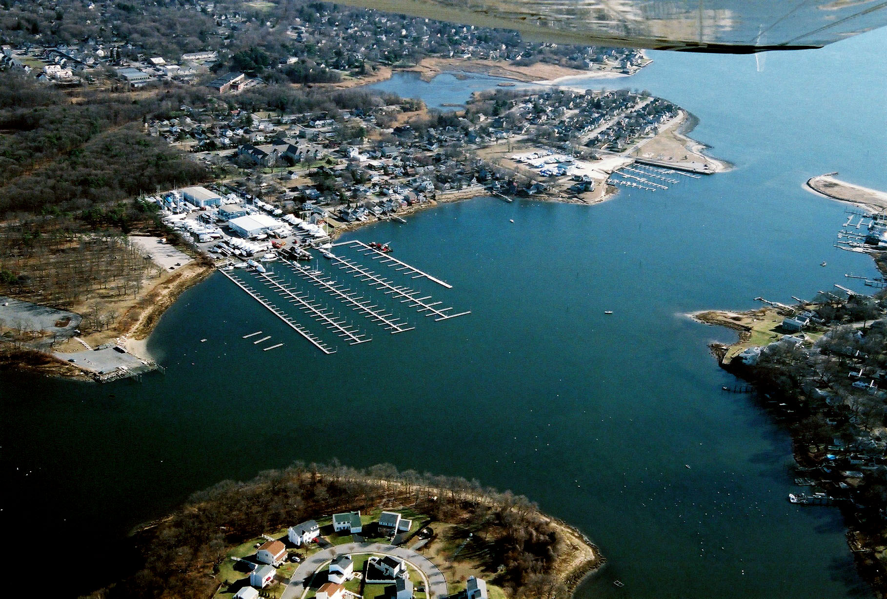
Bullocks Point Cove lies between East Providence and Barrington on the east shore of the Providence River, about five miiles southeast of Providence. The cove is used for pleasure boating and serves as a refuge for recreational craft.
The project, completed in 1959, consists of:
- A 1.1-mile-long channel, 75 feet wide, extending from deep water in the Providence River to an area opposite Haines Memorial Park. From deep water in the Providence River to a point just inside the cove (0.6 mile), the channel is eight feet deep. From this area to a point opposite Haines Memorial Park (0.5 mile), the channel is six feet deep.
- A six-foot-deep turning basin and anchorage, 8.3 acres in area, on the west side of the inner harbor, opposite the boat club.
- A six-foot-deep turning basin, 2.9 acres in area, at the end of the channel, opposite Bullocks Point. The turning basin is on the channel’s westerly side.
- A reconstructed Bullocks Point. Dredged material was used to rebuild the area to a height of nine feet.
- A 600-foot-long stone dike and a 300-foot-long stone jetty that protect the reconstructed area.