 The Exeter River originates in Chester and follows a meandering course eastward for 43 miles before emptying into Great Bay in Newmarket, near the mouth of the Lamprey River and about eight miles southwest of Portsmouth. The Corps’ project is on the lower 8.3 miles of the Exeter River, known locally as the Squamscott River, which flows through Exeter, Newfields, Stratham, and Newmarket. Used mostly by small recreational craft, boating activity today is limited primarily to the river’s lower two miles.
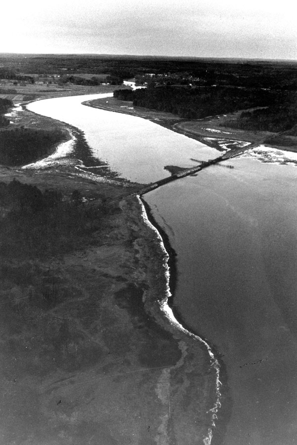
The Corps began work on the Exeter River in 1882 to facilitate the shipment of coal from Great Bay to Exeter. This work consisted of constructing an 8.3-mile-long channel, 40 feet wide, extending from Great Bay to the upper wharves at Exeter, in the vicinity of what is now the Phillips Exeter Academy Boathouse. For the channel’s first 5.6 miles, from Great Bay to Oxbow Cut, the channel is six feet deep. From Oxbow Cut to the upper wharves at Exeter, the channel was constructed to a depth of five feet. In 1903, this latter section of channel, from Oxbow Cut to the upper wharves at Exeter, was deepened to 5.5 feet, and a five-foot-deep turning basin, 200 feet long and 110 feet wide, was constructed at the upper wharves in Exeter.
In 1911, the Corps modified the project by straightening the channel at the Stratham Bridge (Route 108).