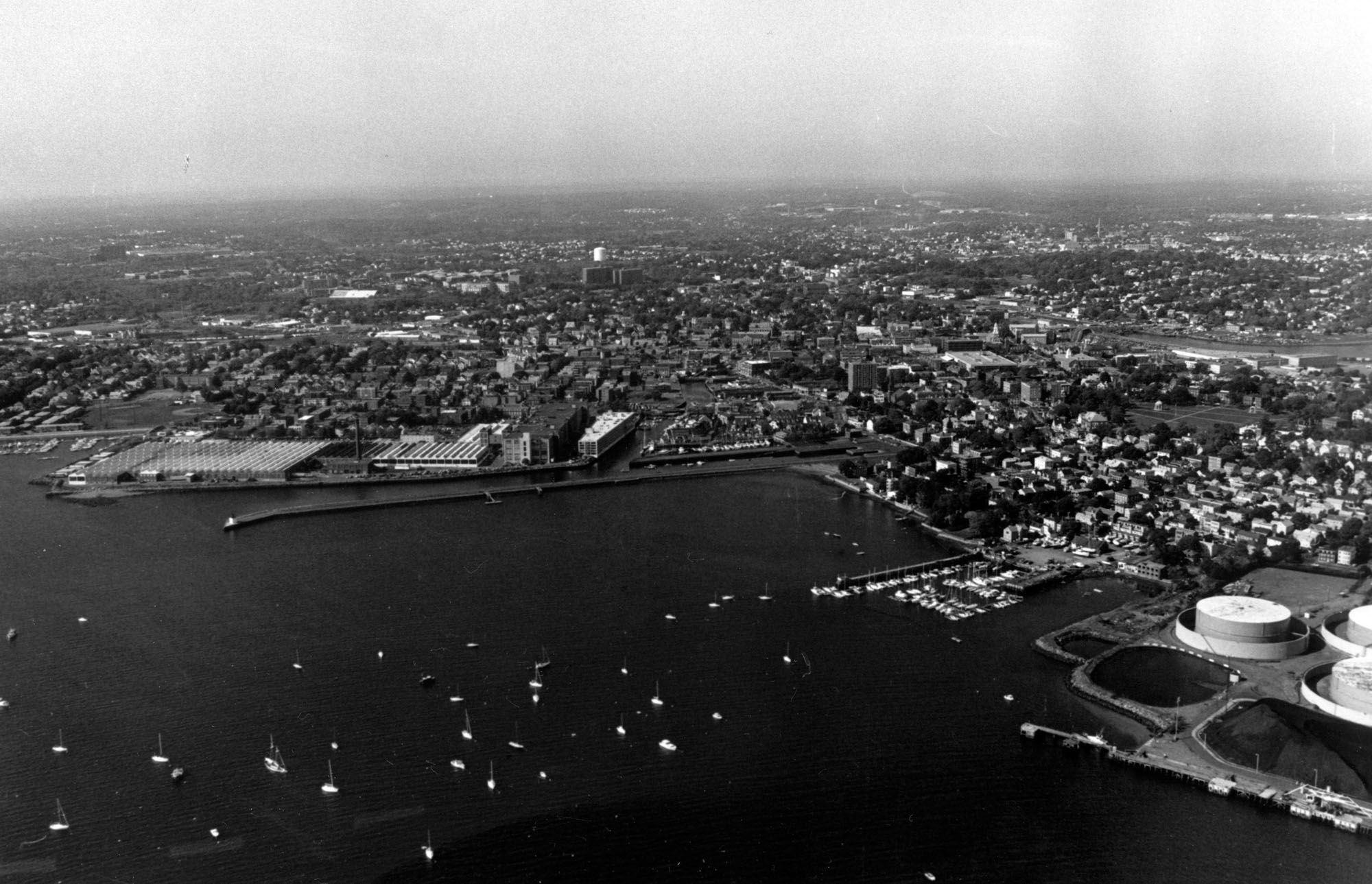
 Salem Harbor in Salem, a major international seaport from the Revolutionary War to the mid-19th century, today is a commercial and recreational port located on Boston’s North Shore, 19 miles northeast of Boston Harbor. Petroleum products for the New England Power Company and domestic heating oil make up the bulk of commercial traffic through the harbor. Lobstering by a small network of families who have done it for generations is also evident.
Initial work in Salem Harbor, completed in 1894, consisted of an eight-foot-deep, 300-foot-wide entrance channel to the South River on the western side of the harbor, and an eight-foot-deep, 50-150 feet wide channel up the South River. The most recent work in the harbor includes:
- A 32-foot-deep channel extending about 1.6 miles from deep water at the junction of the Beverly and Salem Harbors to a point 1,500 feet from the Salem Terminal Wharf. The channel is 300 feet wide, except for its final .25 mile, when it widens to 400 feet. Local interests dredged the remaining 1,500 feet to the terminal, a turning basin, and berths.
- An eight-foot-deep branch channel, 100 feet wide and 700 feet long, on the east side of Derby Wharf. Derby Wharf is the site of a custom house built in 1819, during Salem’s Golden Era, and is part of the Salem Maritime National Historic Site, which is listed on the National Park Service’s National Register of Historic Places.
- An eight-foot-deep turning basin, 500 feet long and 200 feet wide, at the end of the Derby Wharf branch channel.