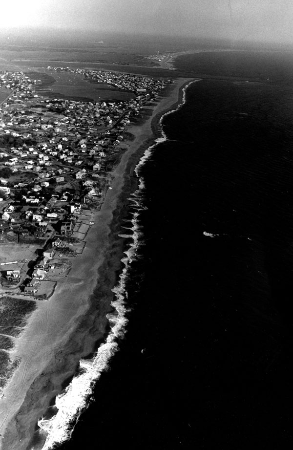
 Newburyport Harbor in Newburyport is about 2.5 miles long and stretches from the mouth of the Merrimack River to the U.S. Route 1 Bridge. It is four miles south of the Massachusetts/New Hampshire state line. The harbor is home base for charter excursion and sport fishing boats, as well as many recreational craft.
The project consists of:
- Two jetties at the entrance to the harbor. The north jetty extends from Salisbury Beach in Salisbury and is 4,118 feet long. The south jetty extends from Plum Island Point in Newburyport and is 2,445 feet long.
- A timber dike that partially closes Plum Island Basin.
- A three-mile-long channel extending from the Atlantic Ocean, through the harbor entrance, upstream to the Route 1 Bridge. From the Atlantic Ocean through the entrance to the harbor, the channel is 12 feet deep and 400 feet wide. From the harbor entrance to the Route 1 Bridge, the channel is nine feet deep and 200 feet wide.