 The Mystic River forms a partial border between the cities of Boston (the Charlestown area), Chelsea, Medford, Everett, and Somerville. The section of the river upstream of the Amelia Earhart Dam, in the Medford/Somerville area, is used extensively by recreational boaters. The lower portion serves shipping and commercial interests.
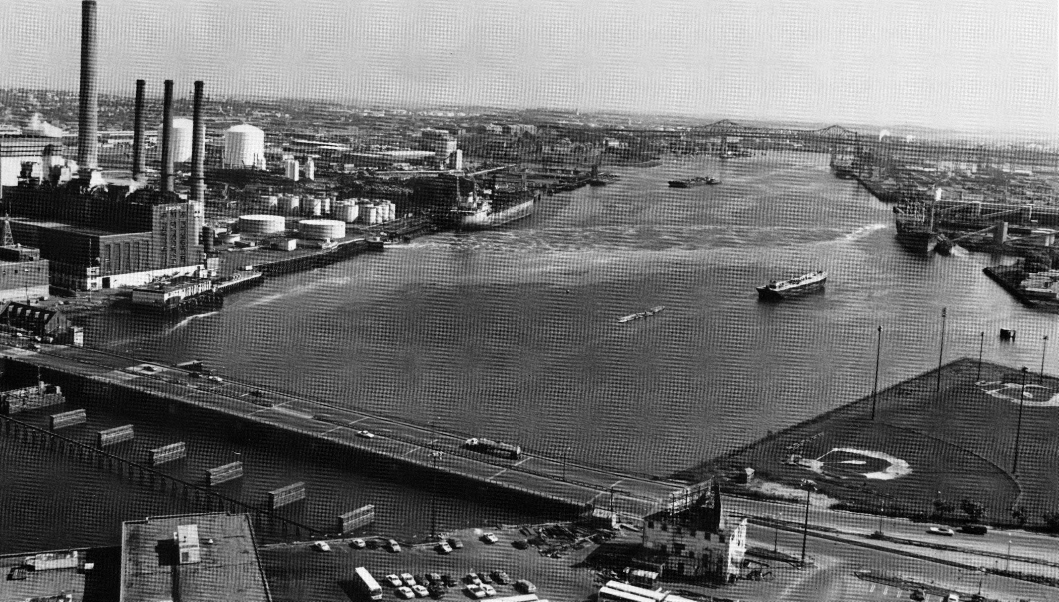
The project consists of a 5.5-mile-long channel extending from Boston Inner Harbor at the Mystic River Bridge (U.S. Route 1) to the Craddock Bridge on Main Street in Medford, near Medford Square. The channel has varying dimensions that are described below.
- A 35-foot-deep channel extending 1.25 miles from the 35-foot channel of Boston Harbor at the Mystic River Bridge to a point about 300 feet downstream of the Malden Bridge, at Alford Street. The channel has a width of approximately 1,000 feet, which narrows to 150 feet as it approaches the drawspan of the Malden Bridge.
- A channel 20 feet deep that extends from a point about 300 feet downstream of the Malden Bridge to a point 800 feet upstream of the Malden Bridge. The channel has a width of 75 feet through the drawspan and then increases to about 340 feet to form a turning basin in the area 800 feet above bridge.
- A channel with varying dimensions extending from the aforementioned turning basin, through the Boston & Maine Railroad (Western Division) Bridge, to the Craddock Bridge. From the Boston & Maine Railroad Bridge to the first turn above Dennings Wharf (formerly the Somerville Coal Company wharf), the channel is six feet deep and 100 feet wide. From Dennings Wharf, passing through the MDC’s Amelia Earhart Lock and Dam and under the General Lawrence Bridge (Route 16), to a point 150 feet downstream of the U.S. Route 93 bridge, the channel is 100 feet wide and four feet deep. From that area to to Craddock Bridge, the channel is 50 feet wide and four feet deep.