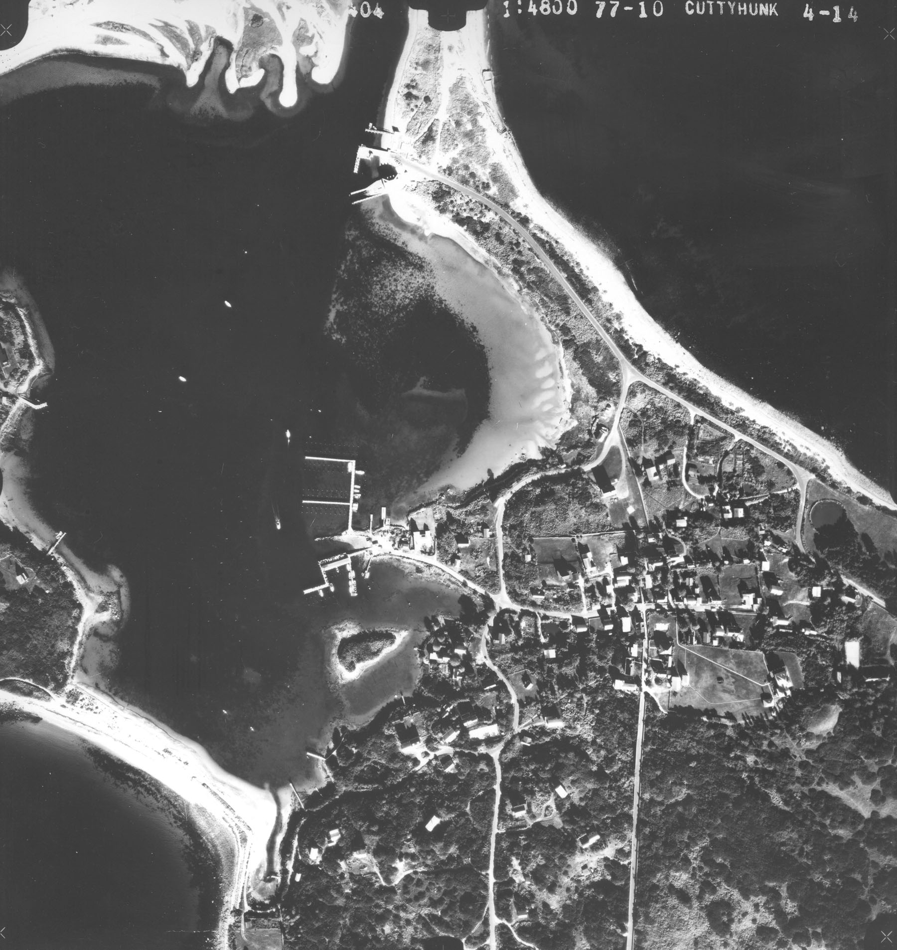
 Cuttyhunk Harbor in Gosnold is located at the northeastern end of Cuttyhunk Island, which lies at the southwestern end of the Elizabeth Islands. The harbor is used by a small fishing fleet, local and transient recreational boaters, and mail and freight carriers from the mainland. It frequently serves as a harbor of refuge.
The project at Cuttyhunk Harbor was constructed in two stages. In 1939, work was completed on a channel and anchorage. The channel, 10 feet deep and 75 feet wide, extends about 0.6 mile from the outer harbor to the westerly terminal in the inner harbor (Cuttyhunk Pond). The anchorage, located at the north side of the inner harbor, is 10 feet deep, 800 feet wide, and 900 feet long. In 1965, the Corps completed the second phase of the project. This work consists of a 2,600-foot-long stone dike built at the east end of Canapitsit Beach; a 600 foot-long stone dike constructed at the south end of Copicut Neck Beach; and the rehabilitation of existing nonfederal jetties on either side of the entrance channel. These structures preserve the natural beaches, protect the harbor, and reduce shoaling.