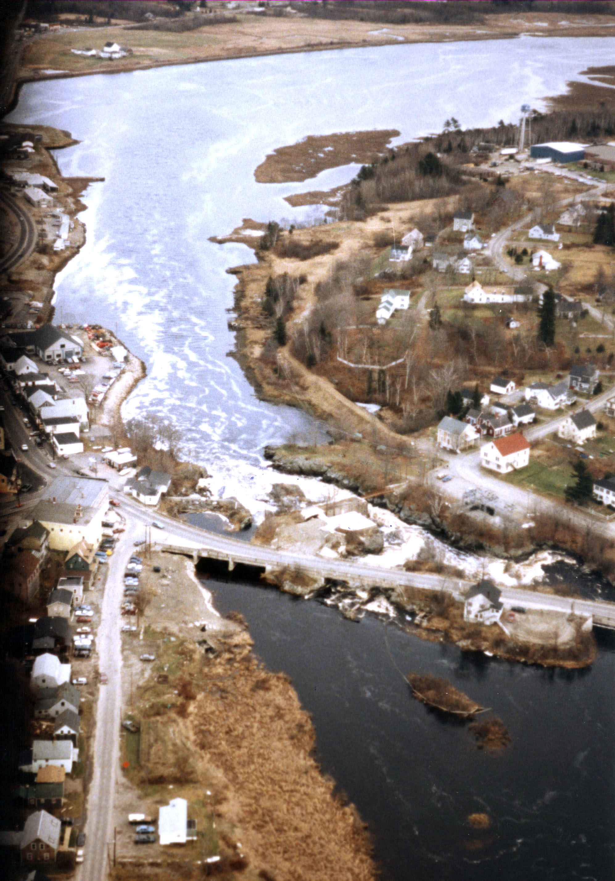
The Machias River originates at Machias Lake and flows southeasterly for 45 miles before emptying into Machias Bay at Machiasport, about 10 miles south of Eastport. The river, which flows through the communities of Machias, East Machias, and Machiasport, is used by fishing and lobster boats, recreational craft, and boats delivering building materials and supplies to nearby islands.
The project involved removing ledge and shoals in the river below Machias to provide boats with a six-foot-deep channel, not less than 100 feet wide, extending about three miles from the East Machias Bridge in Machiasport to the wharves at Machias. The work was completed in 1876 and included the removal of a large ledge at Middle Rock, opposite the Machias wharves.