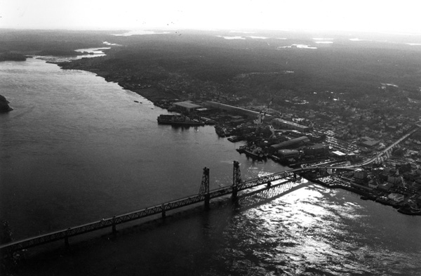
 The Kennebec River originates from Moosehead Lake in northern Maine and flows southerly for about 150 miles, emptying into the Atlantic Ocean at Popham Beach in Phippsburg, about 25 miles east of Portland. The river is navigable for about 43 miles from Phippsburg to Augusta, passing through the communities of Georgetown, Arrowsic, Bath, Woolwich, Bowdoinham, Richmond, Dresden, Pittston, Gardiner, Randolph, Farmingdale, Chelsea, and Hallowell. The river’s principal commerce is associated with shipyard and ship machinery operations at Bath and the receipt of petroleum products, coal, and fish. The section of the river between Merrymeeting Bay in Bath and Popham Beach is popular with recreational boaters.
Initial improvements of the river began in 1827 and continued through 1888. These included removing obstructions, such as ledge rock, to provide a 13-foot-deep channel from the river mouth to Swan Island in Richmond, about 25 miles upstream, with its depth decreasing to 10 feet at Augusta. A secondary channel was constructed around the west side of Swan Island. In 1898, three jetties were constructed on the west side of Swan Island and one at Beef Rock Shoals, at the southeast end of Swan Island.
The project, completed in 1943, consists of:
-
A channel 27 feet deep and 150 feet wide extending from the river mouth to a point 13 miles upstream at Bath.
-
A channel 17 feet deep and 150 feet wide along the east side of Swan Island and extending to Gardiner. The channel depth increases to 18 feet through rock at Lovejoy Narrows, at the northeastern corner of Swan Island.
-
A training wall at Beef Rock Shoals, at the southeast corner of Swan Island.
-
A training wall above Sands Island, near the DresdenPittston town line.
-
A 16 foot deep channel at Gardiner.
-
A channel 11 feet deep and 150 feet wide to the head of navigation in Augusta.