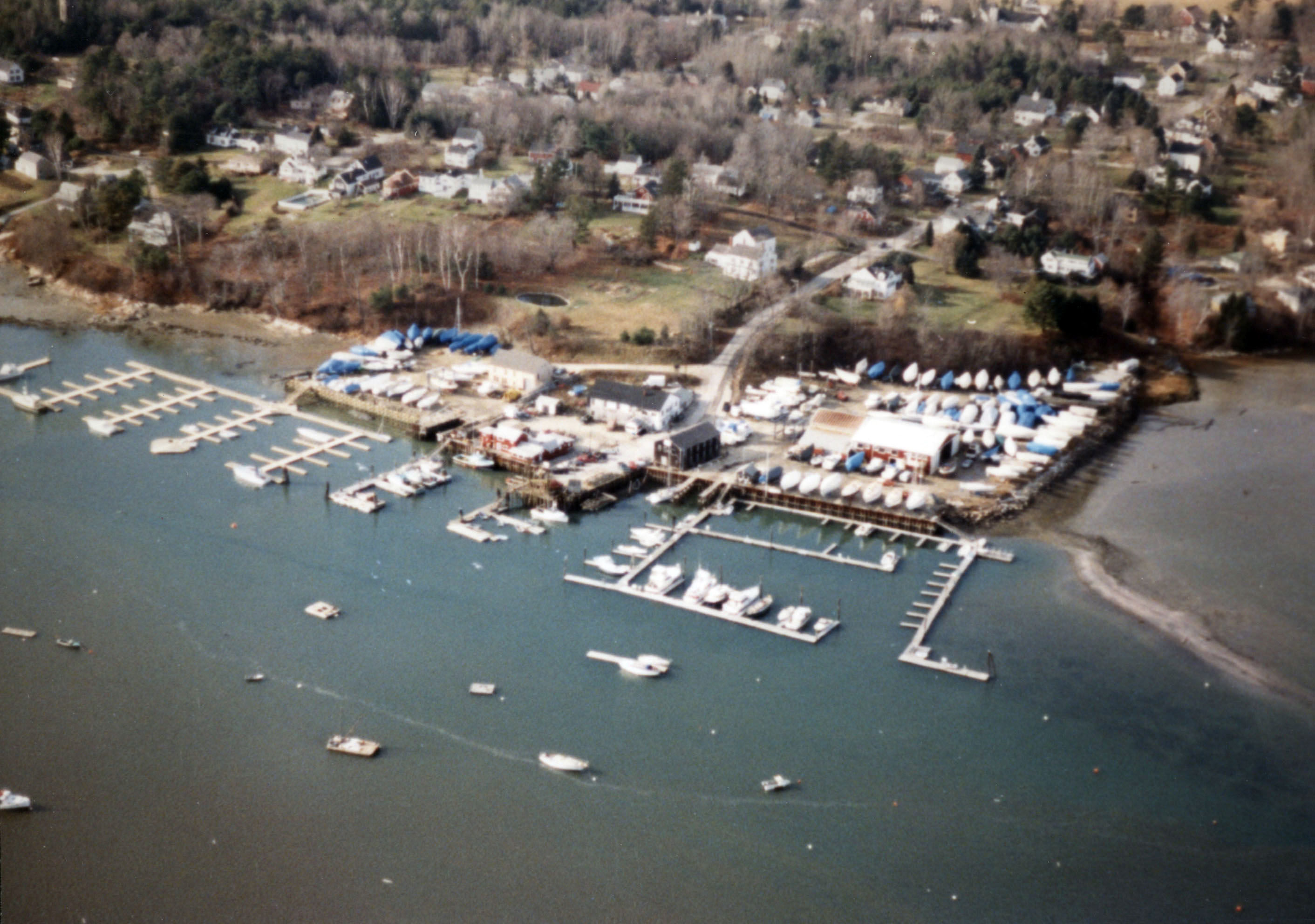
The Harraseeket River in Freeport empties into Casco Bay, about nine miles southwest of Brunswick and 12 miles northeast of Portland Harbor. The three-mile-long waterway, 0.6-mile-wide, is used by local and transient recreational craft.
The project consists of a 2.6-mile-long channel extending from the mouth of the Harraseeket River, between Moore Point on Wolf Neck and Stockbridge Point, to the wharves at Freeport Landing, located about one mile southeast of the Freeport business district. The channel is generally five feet deep and 90 feet wide, except for a section of the channel approaching Freeport Landing that is eight feet deep and 70 feet wide. There are two channel markers outlining the channel as it approaches Freeport Landing. The Corps also dredged an eight-foot-deep turning basin in front of the wharves at Freeport Landing. The project was completed in 1896.