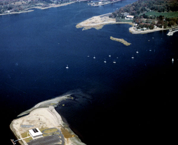
The Saugatuck River flows through Westport Harbor and empties into Long Island Sound at the southwestern end of Westport. The river is navigable from its mouth at the Saugatuck section of Westport to the U.S. Route 1 Bridge in Westport, a distance of 4.2 miles. A large recreational fleet is based in the many coves along the river.
The main navigation feature of the Westport Harbor/Saugatuck River area is a four-foot-deep channel that extends from the highway bridge at Saugatuck to Westport Harbor, where it divides into two smaller, stub channels, also four feet deep. The left stub channel has a width of 54 feet, and the right channel has a width of 40 feet. These channels were constructed in 1896.
To facilitate navigation, the Corps in 1898 removed boulders in the channel area between the Connecticut Turnpike Bridge and Westport Harbor. The Corps removed ledge rock opposite Stony Point in 1908. Repairs to a previously constructed breakwater at Cedar Point were made in 1897.