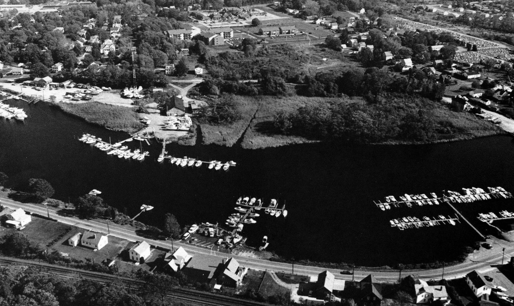
 The Pawcatuck River flows through the east side of the Pawcatuck section of Stonington into Little Narragansett Bay at the Rhode Island-Connecticut state line.
Corps work on the Pawcatuck River began in 1871. The present navigational features of the river are:
-
A 7.5-mile-long, 10-foot-deep channel extending from Stonington Point, located on the bay’s western end, through Little Narragansett Bay and up the Pawcatuck River to Westerly, Rhode Island. The channel is 200 feet wide from Stonington Point to the lower wharves at Westerly (about seven miles), then to 40 feet to the upper wharves.
-
A 0.28 mile-long, 10-foot-deep, 100-foot-wide channel extending from the mouth of the Pawcatuck River into Watch Hill Cove in Westerly.
-
A 10-foot-deep anchorage basin in Watch Hill Cove.
-
A 550-foot-long jetty constructed near Watch Hill Cove.