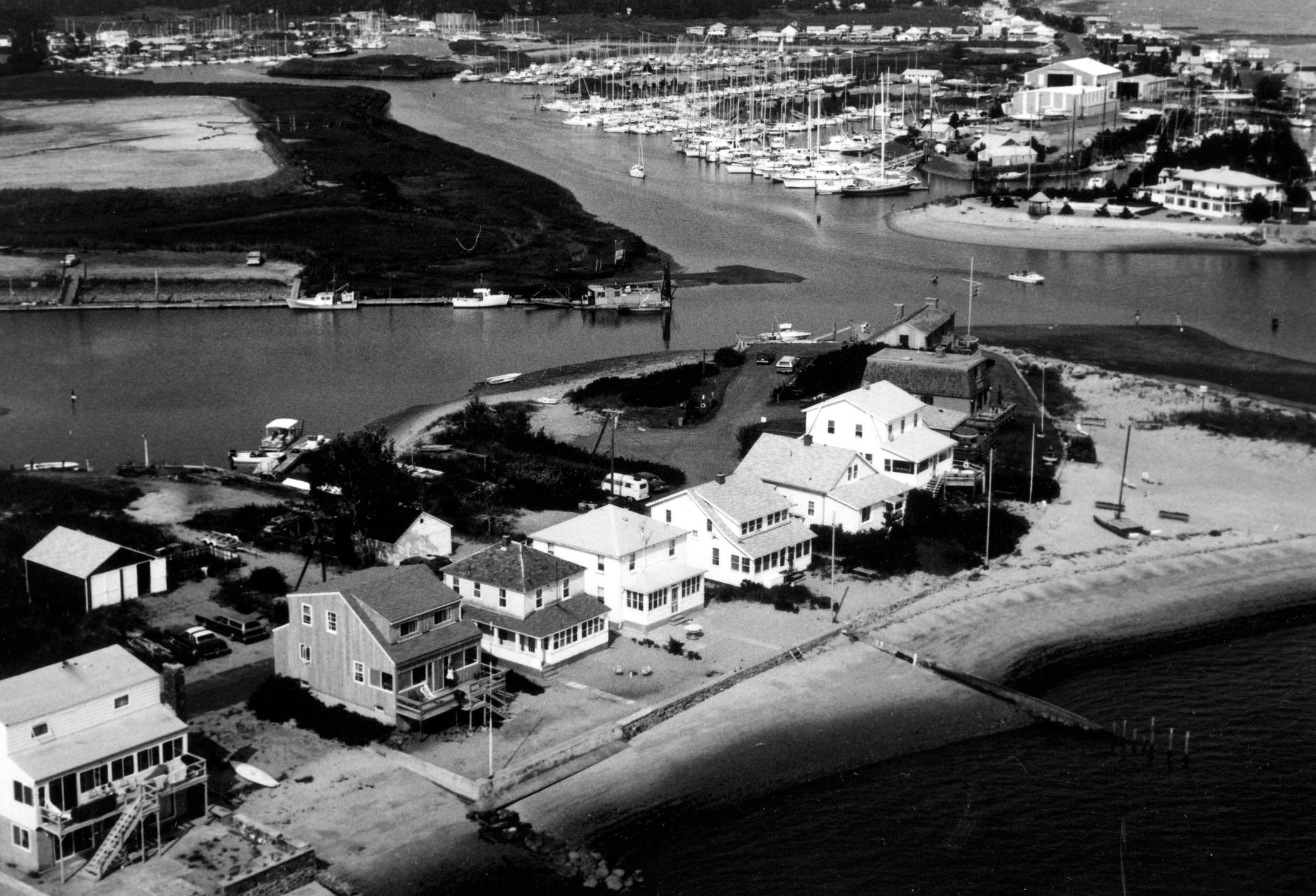
 The Patchogue River starts at the northeastern end of Duck Island Roads and flows for three miles through Westbrook. The river is used chiefly by recreational and fishing boats.
Navigation improvements to the Patchogue River were completed in 1956. They consist of:
-
A one-mile-long, eight-foot-deep channel extending from Duck Island Harbor to the U.S. Route 1 Bridge. The channel is 125 feet wide from Duck Island Harbor to the junction of the Patchogue and Menunketesuck rivers (1,800 feet), where it becomes 75 feet wide until it ends at the U.S. Route 1 Bridge. The enlargement of the 1,800-foot section of the channel from its original width of 75 feet to 125 feet was completed in 1984 as a small project under Section 107 of the Corps’ Continuing Authorities Program.
-
An anchorage and maneuvering area eight feet deep, 75 feet wide, and 500 feet long opposite the town wharf, about 0.4 mile below the highway bridge.
-
A sand tight stone jetty extending 600 feet south into Duck Island Roads from the mouth of the Menunketesuck River.