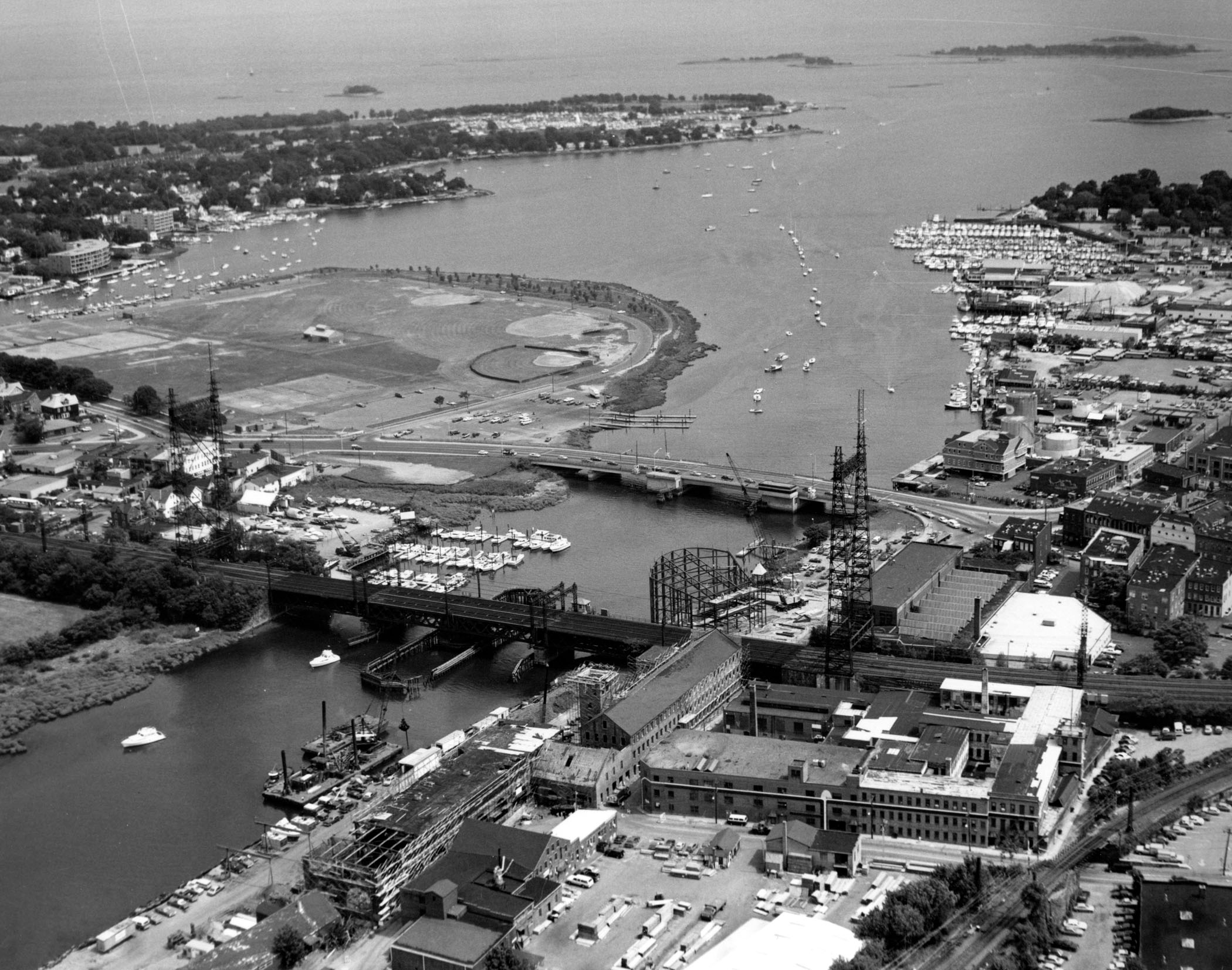
 Norwalk Harbor is located at the mouth of the Norwalk River, about eight miles east of Stamford. It forms a boundary between the East and South Norwalk sections of the city.
Corps work on Norwalk Harbor began in 1872. Features of the existing project, completed in 1950, are:
-
A 4.7-mile-long channel extending from the outer harbor to the head of the harbor in Norwalk. The channel is 12 feet deep and 200 feet wide from the outer harbor to Gregory Point in East Norwalk, where it narrows to 150 feet wide up to the wharves at South Norwalk. The channel then widens to 250 feet along the wharves to the Washington Street Bridge. For its final 1.5 miles, the channel is 10 feet deep and between 100-200 feet wide until it terminates at the head of the harbor in Norwalk.
-
An anchorage area 10 feet deep and 17 acres in area on the east side of the channel in the vicinity of Fitch Point in East Norwalk..
-
A 0.6-mile-long, six-foot-deep channel, 125-150 feet wide, extending northeast from the 10-foot anchorage opposite Fitch Point to the head of the harbor at East Norwalk.
-
A six-foot-deep anchorage area that lies adjacent to the head of the harbor at East Norwalk.