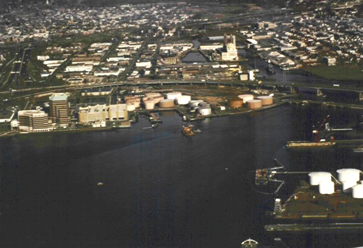
New Haven Harbor, a major commercial harbor in Connecticut, extends for five miles from Long Island Sound to New Haven. West Haven and East Haven lie on either side of the outer harbor. Principal rivers flowing into the harbor are the Quinnipiac River to the northeast, the Mill River to the north, and the West River to the west. The Corps first began work on New Haven Harbor in 1852. Several more improvements were completed in 1950. At present, the project consists of:
-
Three breakwaters that shelter the harbor entrance. The east breakwater, located on the east side of the channel, is 3,450 feet long; the middle breakwater, located on the west side of the channel, is 4,450 feet long; and the west breakwater is 4,200 feet long. From Morgan Point in East Haven, the breakwaters stretch southwesterly across the outer harbor in a rough diagonal shape. They were constructed in 1915.
-
A 5.4-mile-long main channel 35 feet deep and 400-800 feet wide extending from Long Island Sound to the head of the harbor, immediately south of the US Route 1 and Connecticut Turnpike bridges.
-
An anchorage basin 16 feet deep and 13.5 acres in area on the west side of the upper harbor.
-
An anchorage basin 15 feet deep and 3.2 acres in area at the northwest side of the head of the harbor, opposite City Wharf.
-
A 1.5-mile-long, 12-foot-deep channel extending from the 16-foot anchorage, through the mouth of the West River, to a point about 70 feet south of the Connecticut Turnpike. From the 16-foot anchorage to the Kimberly Avenue Bridge, the channel is 100-150 feet wide. From the Kimberly Avenue Bridge to the point about 70 feet from the Connecticut Turnpike, the channel is 75 feet wide.
-
A small-boat anchorage, six feet deep and over 1.5 acres in area, on the southwest side of the mouth of the West River.
-
A 300-foot-long stub channel, 12 feet deep and 100 feet wide, extending northwest from the 15-foot-deep anchorage toward Brewery Street. Construction of the channel beyond 300 feet was abandoned when Congress declared the area non-navigable in 1949.
-
A 12-foot-deep channel up the Mill River that splits into two branches. The channel is 2,000 feet long and 200 feet wide up to the junction of the two branches. The East Branch is 1,200 feet long and 100 feet wide, while the West Branch is 1,600 feet long and 125 feet wide. The channels in each branch extend to the Grand Avenue Bridge.
-
A 200-foot-wide channel in the lower reaches of the Quinnipiac River, 18 feet deep in the 3,700-foot reach between the Tomlinson (U.S. Route 1) and Ferry street bridges, and 16 feet deep in the 3,000-foot reach extending upstream to the Grand Avenue Bridge.
-
A 4,200-foot-long training dike at Sandy Point in West Haven, opposite the Fort Hale Park. The Corps also removed rocks in Morris Cove, on the east side of the outer harbor near the Brightview section of East Haven, to facilitate navigation.