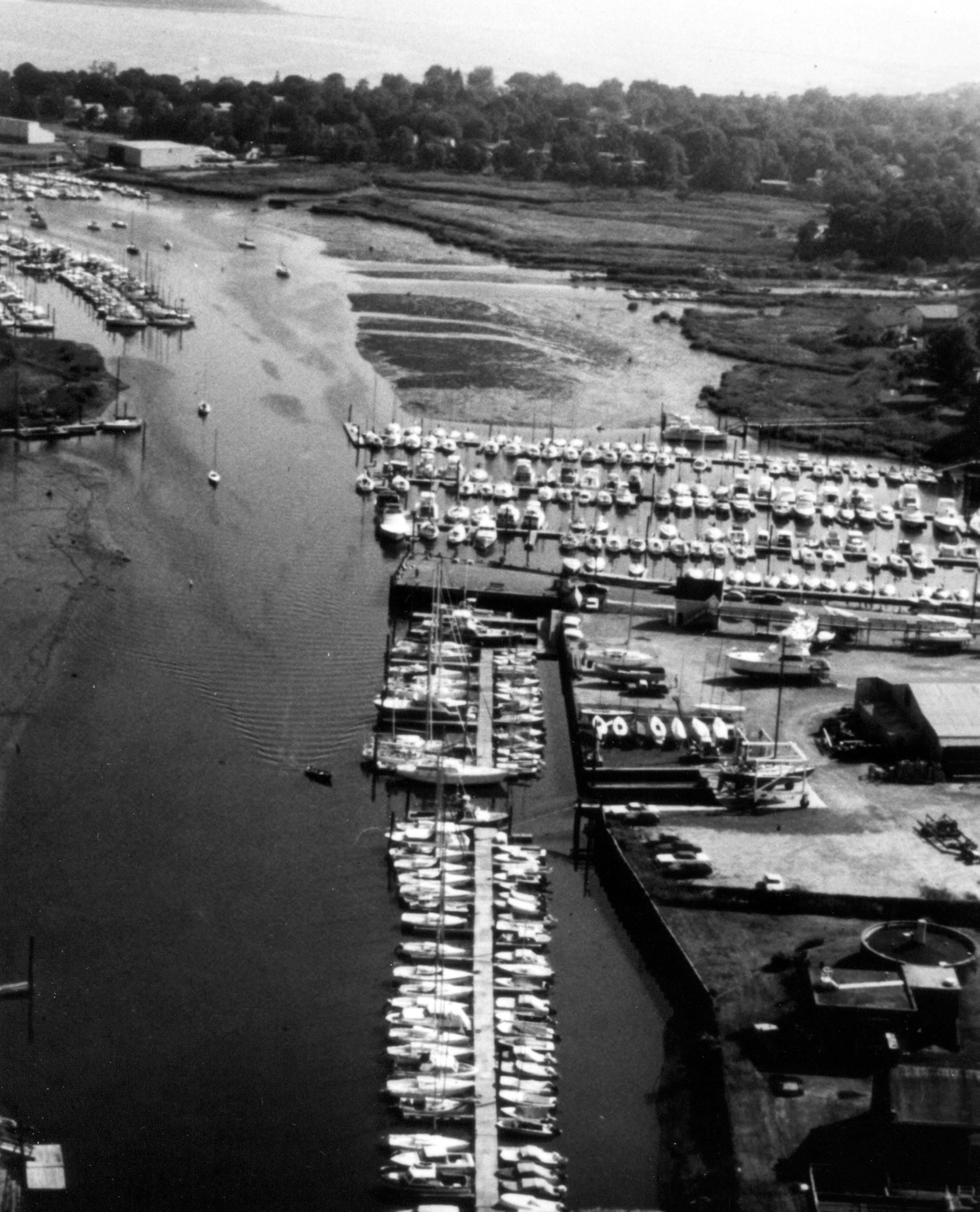
 Milford Harbor is located at the mouth of the Wepawaug River along the Milford shorefront. The harbor is chiefly used for recreational boating.
The first work on Milford Harbor was completed in 1874. Navigational improvements made by the Corps in subsequent years include:
-
A one-mile channel stretching from the lower harbor to a point 400 feet above Town Wharf. From the lower harbor to Merwins Wharf (0.4 mile), the channel is 10 feet deep and 100 feet wide; from Merwins Wharf to the area 400 feet above Town Wharf, the channel is eight feet deep and 100-125 feet wide.
-
An anchorage area, called East Basin, located on the east side of the channel at the bend. It is eight feet deep.
-
Two adjacent anchorage areas totaling 2,000 feet in length that lie parallel to the channel on its westerly side. The anchorage area closest to the outer harbor is 10 feet deep and 600 feet long, while the second anchorage is eight feet deep and about 1,400 feet long.
-
Two jetties in the inner harbor, close to the entrance of the Wepawaug River. The east jetty (Long Jetty) is 510 feet long, and the west jetty (Burns Point Jetty) is 250 feet long.