 The Weston Local Protection Project is located on the West River in Weston, about 21 miles northwest of Bellows Falls and 45 miles upstream of the confluence of the West and Connecticut rivers in Brattleboro.
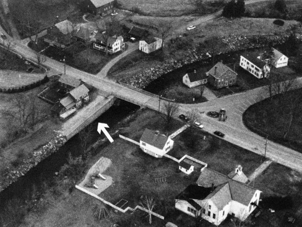
The existing project provides protection from moderate flooding to the Weston Playhouse, Weston Inn, and Community House; town offices and four residences; a school, store, and playground; and adjacent roadways. Data on damages prevented are not available.
In June 1952, moderate flooding from the West River damaged public and private property. To prevent damage from similar flooding, the Corps designed and built a project between June 1956 and July 1957 at a cost of $14,800. It was constructed as a small project under Section 208 of the Continuing Authorities Program. In 1973 and again in 1976, heavy flooding significantly damaged the project. The original project and the rehabilitation work are described below. The project is operated and maintained by Weston.
The original project included deepening and widening the channel; clearing, snagging, and removing boulders from the streambed; constructing 1,335 feet of stone slope protection; constructing a 83-foot-long earthfill dike with stone slope protection, and a stop-long structure, both at the Vermont Guild Mill Building; and repairing a section of masonry wall on a section of the left bank upstream of the Landgrove Street Bridge. This work extended along 1,700 feet of the West River downstream of the Vermont Guild Dam and protected an area between Route 8 and the West River.
In June 1973, the West River overflowed its banks between the Guild Mill and the Landgrove Street Bridge, a distance of about 450 feet. The resultant flooding damaged town offices, the town common, the Memorial Library, homes, roadways, and other public buildings. The stone walls on both riverbanks were undermined, and some sections either ruptured or collapsed, leaving the streambed and banks cluttered with debris. The Corps responded by constructing stone slope protection and retaining walls on the banks, and restoring the concrete masonry walls. The Corps also replaced a washed out culvert at Parker Lane Brook, replaced concrete sidewalks, and relocated an electrified cattle fence. This restoration work, constructed under the Corps’ emergency repairs authority (Public Law 99 of the Flood Control Act of 1941), extended along a 900-foot reach of the river and was completed between October-November 1973 at a cost of $175,000. During August 10-12, 1976, heavy flooding from Hurricane Belle damaged two riverbank areas and left them vulnerable to erosion. Four months later, stone reinforcements were placed on the eroded banks to provide them with emergency protection. However, high river flows caused by a subsequent storm washed out the stone reinforcements, leaving the banks unstable and subject to further erosion. During the next 20 months, the Corps restored stone slope protection upstream of the Landgrove Street Bridge, constructed a gabion retaining wall downstream of the bridge, and replaced a pipe rail fence. This work, constructed under the Corps’ emergency repairs authority (Public Law 99 of the Flood Control Act of 1941), was completed in August 1978 at a cost of $93,700 (including the stone reinforcement emergency protection work).
The West River rises in Mount Holly and flows seven miles southerly to Weston, then southeasterly for 46 miles through Londonderry, Jamaica, Townshend, and Newfane before joining the Connecticut River at Brattleboro.