 Niantic Bay is a wide, shallow bay at the mouth of the Niantic River. The river forms a partial boundary between East Lyme and Waterford.
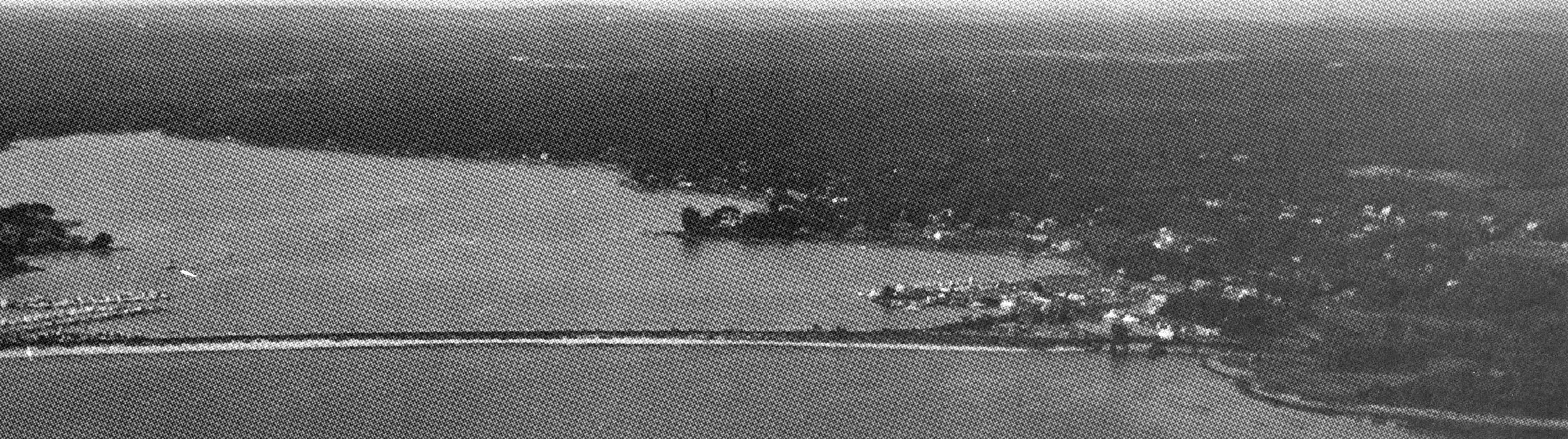
The harbor is protected by a large bar that serves as a causeway for the Conrail railroad and Route 156. It is a popular place for harvesting scallops and is used by a large fleet of recreational and sport fishing boats.
The project consists of a channel with varying dimensions. An eight-foot deep, 100-foot wide entrance channel extends about 1,700 feet northeasterly from deep water at the northeastern end of Niantic Bay to the railroad and highway bridges, where it narrows at the southern end of Niantic Harbor. The channel then becomes six feet deep and 100 feet wide as it extends about 8,500 feet upstream to the deep water south of Sandy Point.
The channel at Niantic Bay and Harbor was completed in August 1970 as a small project under Section 107 of the Corps’ Continuing Authorities Program.