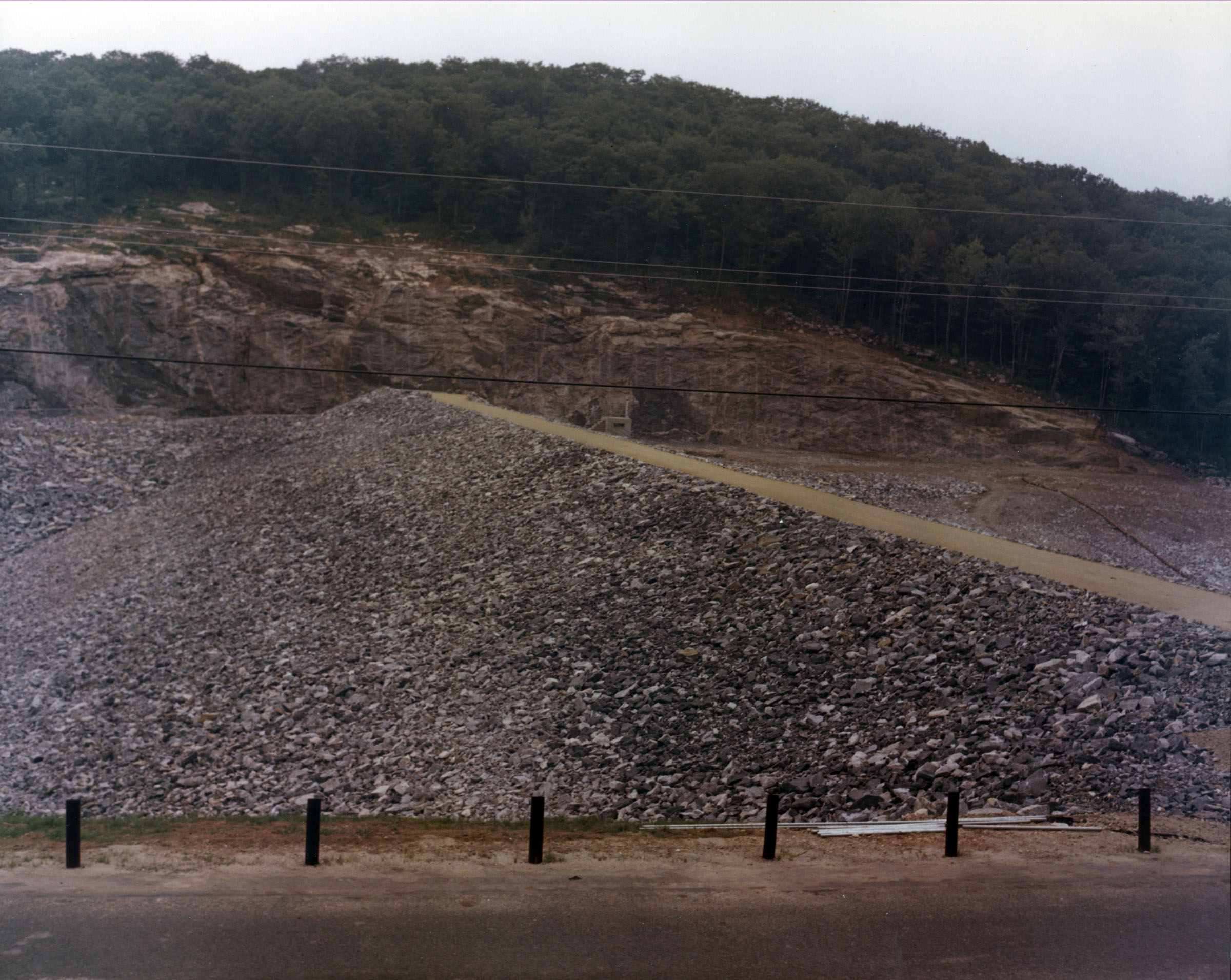
 East Branch Dam is located in Torrington on the East Branch of the Naugatuck River. From Torrington Center, it can be reached traveling one mile north on Main Street, then two miles west on Newfield Street. The project consists of an earthfill dam 700 feet long and 92 feet high; an ungated circular concrete conduit 450 feet long and three feet in diameter; and a chute spillway edged in rock with a 100-foot-long concrete weir. The weir’s crest elevation is 16 feet lower than the top of the dam.
The dam impounds the floodwaters of the East Branch of the Naugatuck River, providing protection to Torrington. It operates in conjunction with the Hall Meadow Brook Dam and the two local protection projects in Torrington.
Construction of the dam began in March 1963 and was completed in June 1964. A 1.5-mile section of town road was relocated. Following completion, the project and associated lands were transferred to the state of Connecticut for operation and maintenance. Construction costs totaled $3.3 million. The project has prevented $30.6 million in flood damages since it was built (as of September 2011).
There is no lake at East Branch Dam. The flood storage area of the project, which is normally empty and is only utilized to store floodwaters, covers 158 acres. East Branch Dam can store up to 1.42 billion gallons of water for flood control purposes. This is equivalent to 8.9 inches of water covering its drainage area of 9.3 square miles.
The state stocks the East Branch of the Naugatuck River with brook and brown trout. A recreation area operated by the city of Torrington offers bow hunting for deer and small game. Park lands are used by several groups, including a radio controlled airplane club.
- Updated: 10 June 2015