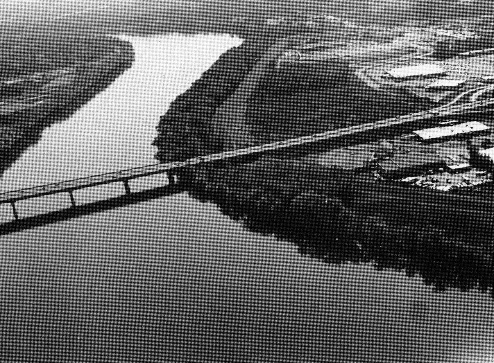
 The Riverdale Local Protection Project is located along more than two miles of the Connecticut River’s west bank in West Springfield. The project protects 450 acres of highly developed industrial, commercial, public, and residential areas.
The area suffered almost $500,000 total damage from the floods of March 1936 and September 1938. Construction of the project started in April 1949 and was completed in December 1950 at a cost of $1.2 million. West Springfield operates and maintains the project.
The project consists of a 12,700-foot-long earthfill dike with stone slope protection and a maximum elevation of 20 feet. The dike starts near the intersection of U.S. Route 5 and Brush Hill Avenue and extends downstream along the south bank of Goldine Brook, downstream along the west bank of the Connecticut River, and upstream along the north bank of Bagg Brook to high ground near Morgan Road. Construction included three stoplog structures and the Wayside and Riverdale pumping stations, which remove interior drainage from behind the dikes.
The Corps has completed a study that verifies the need and economic feasibility of expanding the pumping station. The project would consist of adding a diesel-powered pump and constructing a five-foot-diameter concrete culvert through the dike. The study cited both increased stormwater runoff and the likelihood of future development in the area as visible reasons to expand the pumping station. Plans and specifications have been prepared and the project will proceed into construction when all required permits have been received and the necessary land rights and funding are available. The project, with an estimated cost of $890,000, would be built under Section 205 of the Continuing Authorities Program.