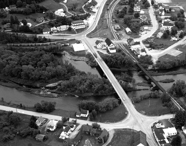
This project, located in the North Stratford section of Stratford, is situated along the left bank of the Connecticut River, adjacent to the Bloomfield (Vermont) - North Stratford Bridge on Route 105 and the town’s fire station. The project is about 20 miles south of the Canadian border.
North Stratford suffered serious flooding from ice jams in 1964, 1970, and 1973. In March 1979, an ice jam caused record flooding, washing away 2,000 feet of the Canadian National Railroad, destroying 27 homes, and causing damages estimated at $3.5 million. These floodwaters significantly undercut a section of the Connecticut River’s left bank where the fire station is located, posing an immediate threat to the facility. This section of the left bank, situated at a bend in the river, is subject to ice flow abrasion and had eroded considerably since the fire station was constructed two years previously. The fire station also housed the town library and selectman’s office.
To stem further erosion and safeguard the fire station, the Corps built 300 feet of stone slope protection along the riverbank. Constructed between October - December 1981, the work cost $180,000. The project was built under Section 14 of the Continuing Authorities Program.