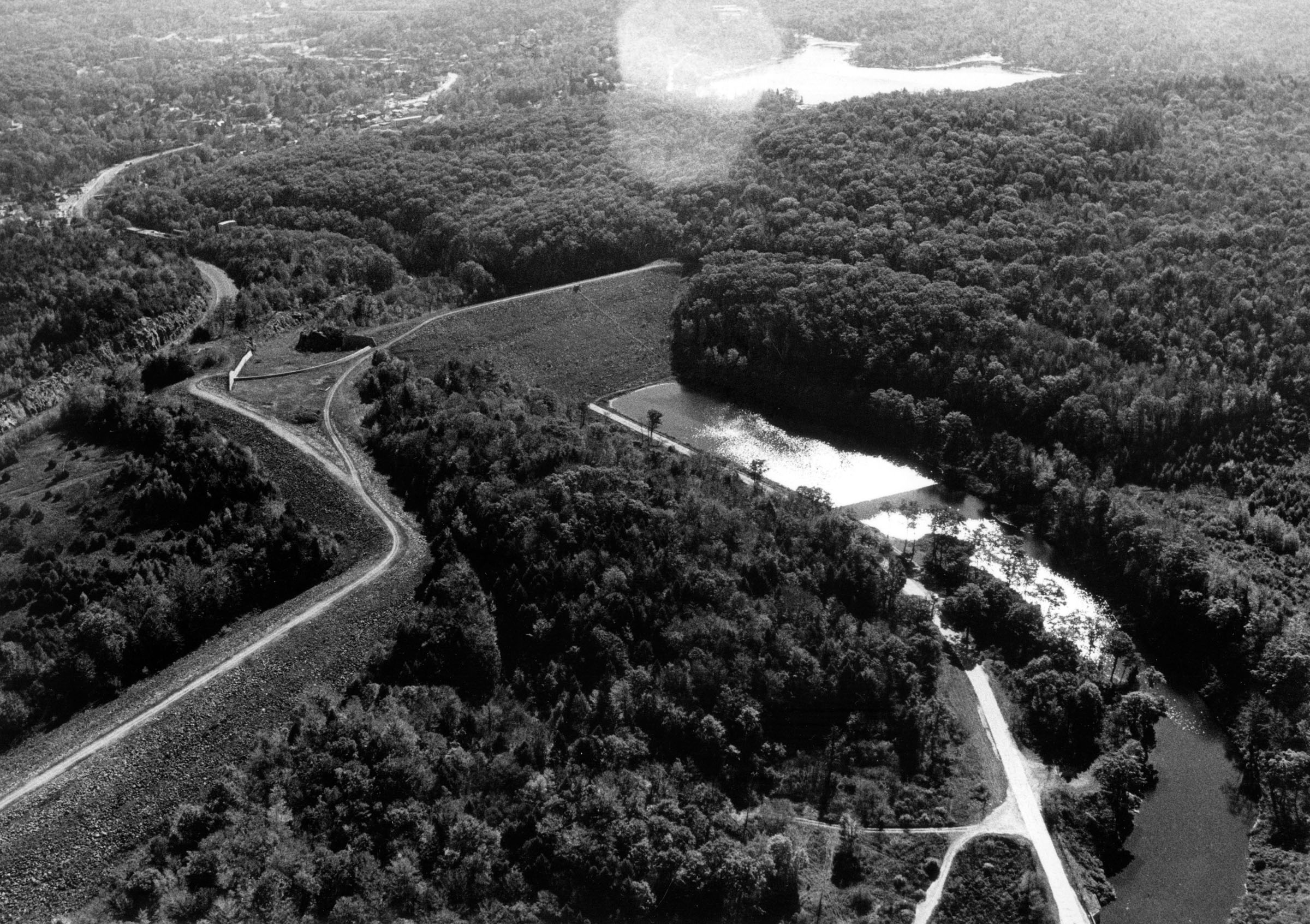
The Mad River Dam and Reservoir is located on the Mad River in Winchester. From Winsted, it is two miles west on U.S. 44. The project consists of an earthfill dam with stone slope protection 940 feet long and 178 feet high; an earthfill dike with stone slope protection 2,340 feet long and 60 feet high; a 923-foot-long ungated circular concrete conduit with a diameter of three feet nine inches; and a concrete chute spillway with a 340-foot-long concrete weir. The weir’s crest elevation is 13 feet lower than the top of the dam.
In conjunction with Sucker Brook Dam, Mad River Dam reduces flooding on the Mad and Still rivers.
The project started in June 1961 and was completed in June 1963. The relocation of 2.3 miles of Route 44 was required. Following completion, the project and associated lands were transferred to the state of Connecticut for operation and maintenance. Construction costs totaled $5.4 million. The project has prevented $16 million in flood damages since it was built (as of September 2011).
Mad River Dam is a 10-acre recreation pool with a maximum depth of 17 feet. The flood storage area of the project, which is normally empty and is utilized only to store floodwaters, totals 188 acres. Mad River Dam can store up to 3.1 billion gallons of water for flood control purposes. This is equivalent to 10 inches of water covering its drainage area of 18.2 square miles.
The state stocks trout in both the lake and the Mad River. Pheasant is stocked on the adjacent lands. Partridge and other small game hunting is also available.
- Updated: 10 June 2015