 The East Hartford Local Protection Project is located along the east bank of the Connecticut River and the north bank of the Hockanum River in East Hartford. It provides protection for about 760 acres of residential, commercial, industrial, and public property in East Hartford.
Construction started in December 1938 and was completed in July 1943, costing $2.4 million. The project is operated and maintained by East Hartford.
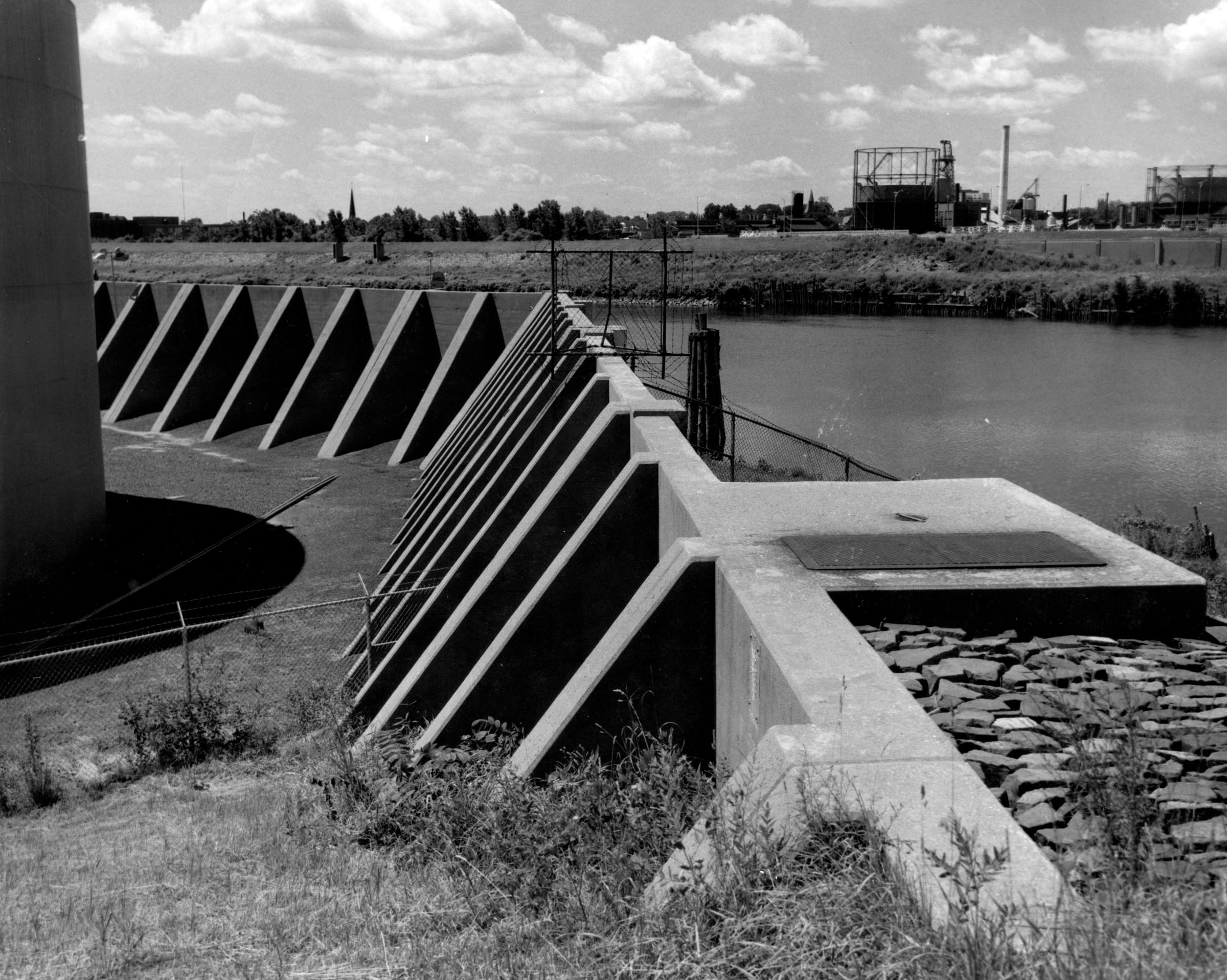
There are about 19,500 feet of earthfill dikes and 750 feet of concrete floodwalls along the Connecticut and Hockanum rivers, extending from the high ground near Greene Terrace in the north to high ground at Brewer Lane and Central Avenue in the south. There are two stoplog structures, one each at the railroad and Main Street. Three pumping stations that discharge storm waters from behind the dike into the Connecticut River are located at Meadow Hill, Cherry Street, and Pitkin Street.