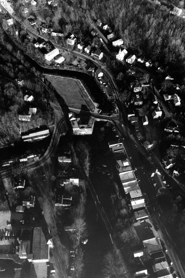
The Stony Brook Local Protection Project in Wilton is located on Stony Brook, near its confluence with the Souhegan River. It is about 18 miles northwest of Nashua. The project reduces ice jam flooding on Stony Brook, safeguarding residential, commercial, and industrial properties in Wilton’s downtown area.
Stony Brook was prone to flooding from heavy rainfall, which caused serious flood damage in September 1938, June 1944, and October 1955. However, most flooding on Stony Brook was caused by ice jams. In late winter and early spring, ice floating downstream on Stony Brook would lodge against obstructions in the stream, limiting its flow capacity. These obstructions included several boulders, shoals, and logs that supported a thick growth of brush; soil that had sloughed off the east bank; and masonry blocks that had fallen from adjacent walls. The ice jams caused Stony Brook to overflow its east bank, flooding residential and commercial properties. Ice jams caused serious flooding in March 1936, March 1968, January 1969, and January 1970. Following the flood of January 1970, which caused record damages, town officials contacted the Corps and requested assistance to protect property that was vulnerable to ice jam flooding. The Corps started and completed the project in November 1971 at a cost $19,500. It is a small project, built under Section 208 of the Continuing Authorities Program, and is maintained by Wilton.
The project involved snagging and clearing trees and brush from a 1,000-foot-reach of Stony Brook. The project begins near the northerly of two dams on Stony Brook and extends 1,000 feet downstream, ending about 600 feet above the intersection of Highland and Main streets. The removal of this debris restored the channel to its original width of 65 feet. The gravel and soil removed from Stony Brook was placed on the east bank.