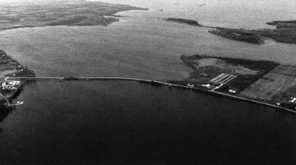
North Hero Island, consisting of the community of North Hero, and South Hero Island, consisting of the communities of Grand Isle and South Hero, are situated in the middle of Lake Champlain. The channel between the islands, locally known as The Gut, lies about 17 miles south of the United States-Canada border. Frequently traveled at one time by commercial ships, no commerce has been reported on this waterway for decades. It is now used principally by recreational craft.
The project, completed in 1899 primarily to aid commercial navigation, consists of a two channels, each 10 feet deep and 150 feet wide, at both the east and west entrances to The Gut. The east channel is located roughly halfway between Knight Point in North Hero and Sandy Point in Grand Isle. The west charnel is located roughly halfway between Bow Arrow Point in North Hero and Tromp Point in Grand Isle.