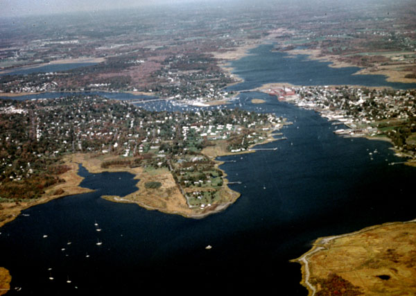
Rising in Southeastern Massachusetts, the Warren River flows southerly across the Massachusetts-Rhode Island state line for about 7.5 miles before emptying into the head of Narragansett Bay between Bristol and Rumstick necks, about seven miles southeast of Providence. The Corps’ project is located along the lower two miles of the river, between Barrington and Warren. The Warren River is used by fishing vessels, recreational craft, and a boatbuilding firm.
Completed in 1887, the project involved removing a rocky reef south of Little Island, near the confluence of the Warren and Barrington rivers, and a submerged boulder (formerly called Bushworth Rock) opposite Warren’s lower waterfront. The removal of these obstructions provides a natural 12-foot depth in the lower two-mile-long channel of the Warren River.